TRUST DEED/BANKRUPTCY AUCTION
April 1, 9:15 am, 2025
Sale Site: 327 R Road, Palmer, Nebraska (Parcel 5)
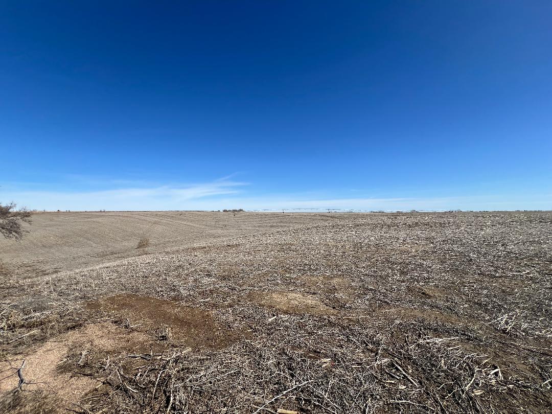
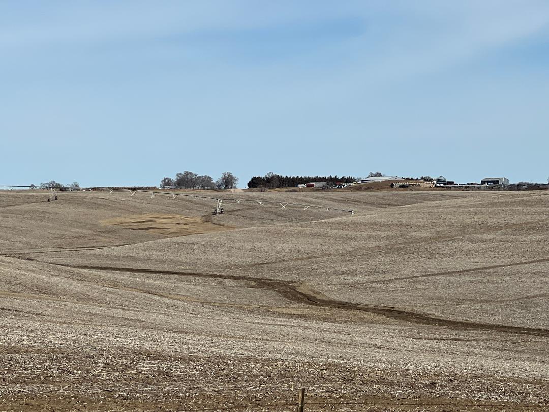
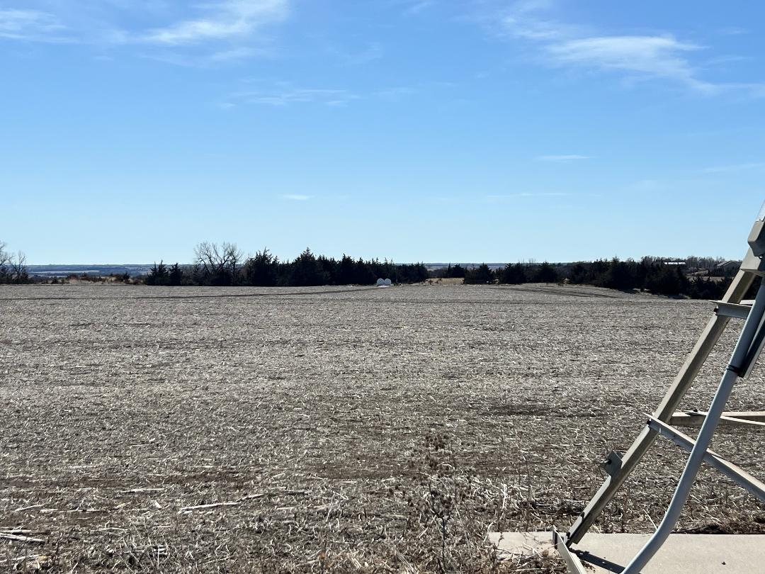
2,361.56+/- Acres In Merrick & Howard County, Pivot & Gravity Irrigated Cropland, Pasture, Loup River Frontage, Building Sites - To Be Sold As A Whole. Farm Machinery & Equipment. Subject to further announcements day of sale.
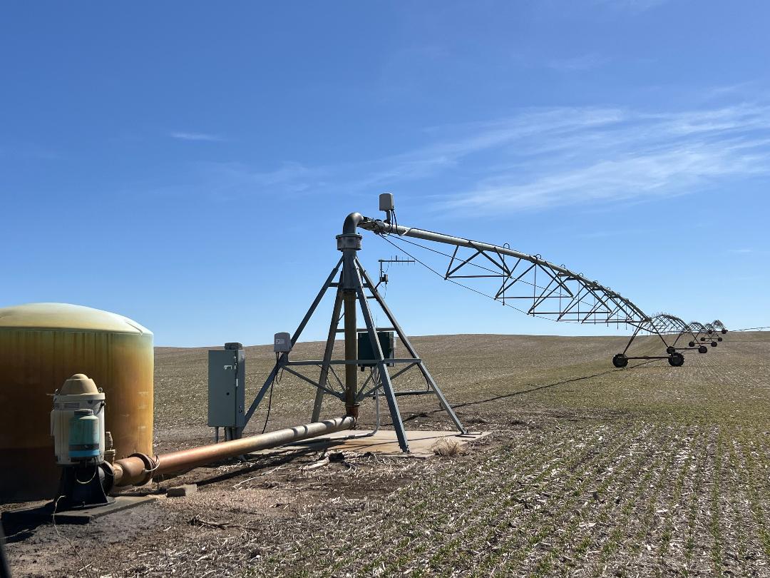
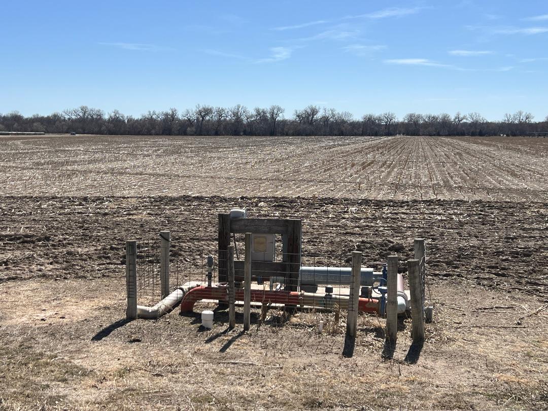
Parcel 1: Acres: 40.12+/- tax assessed acres. Land Location: From Hwy #92 & NE61A Spur junction (S of Palmer, NE) travel 2 miles south on 3rd Road. Legal Description: The NW4NW4 of 28-14-8, Merrick Co. NE. 2024 RE Taxes: $1,920.04 Land Use/Improvements: Gravity irrigated cropland, 30 hp electric motor. FSA Info: 37.75 cropland acres with 35.67 base acres of corn. Certified Irrigated Acres: Central Platte NRD records indicate 37.75 acres. Water Info: NE Dept of Natural Resources indicates Well #G-047614 was drilled 6-30-1975, 97’ depth with 35’ static level, 65’ pumping level, pumping 1000 gpm.
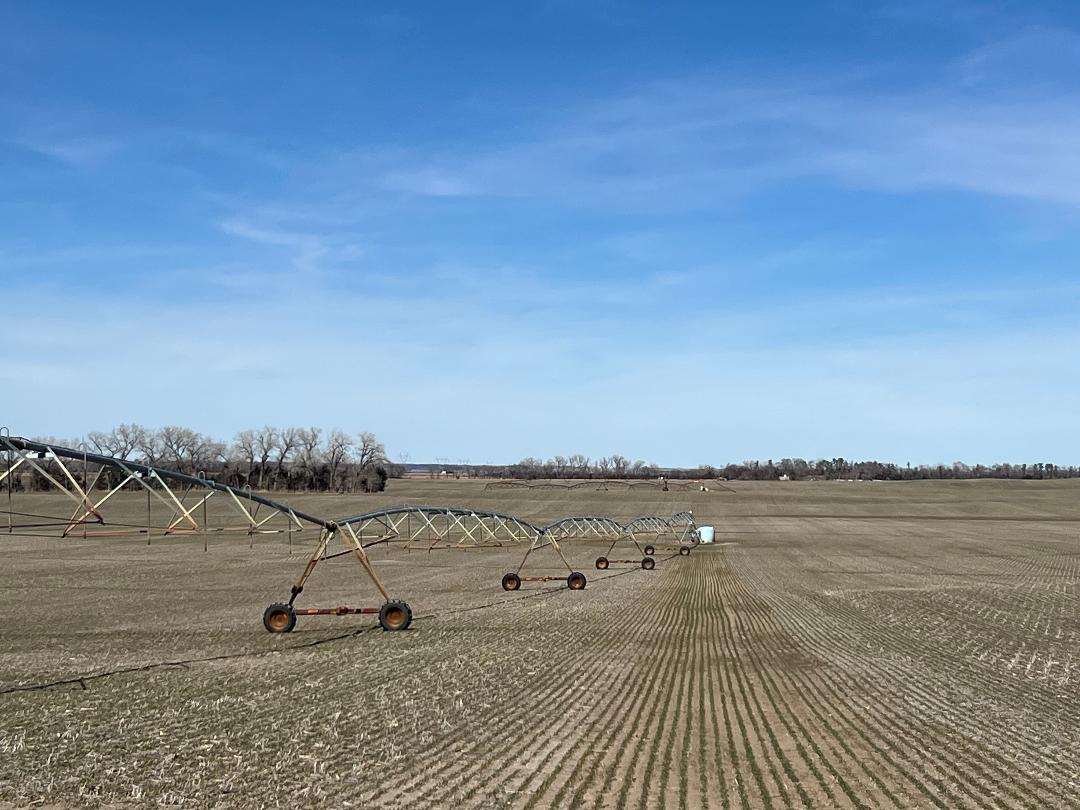
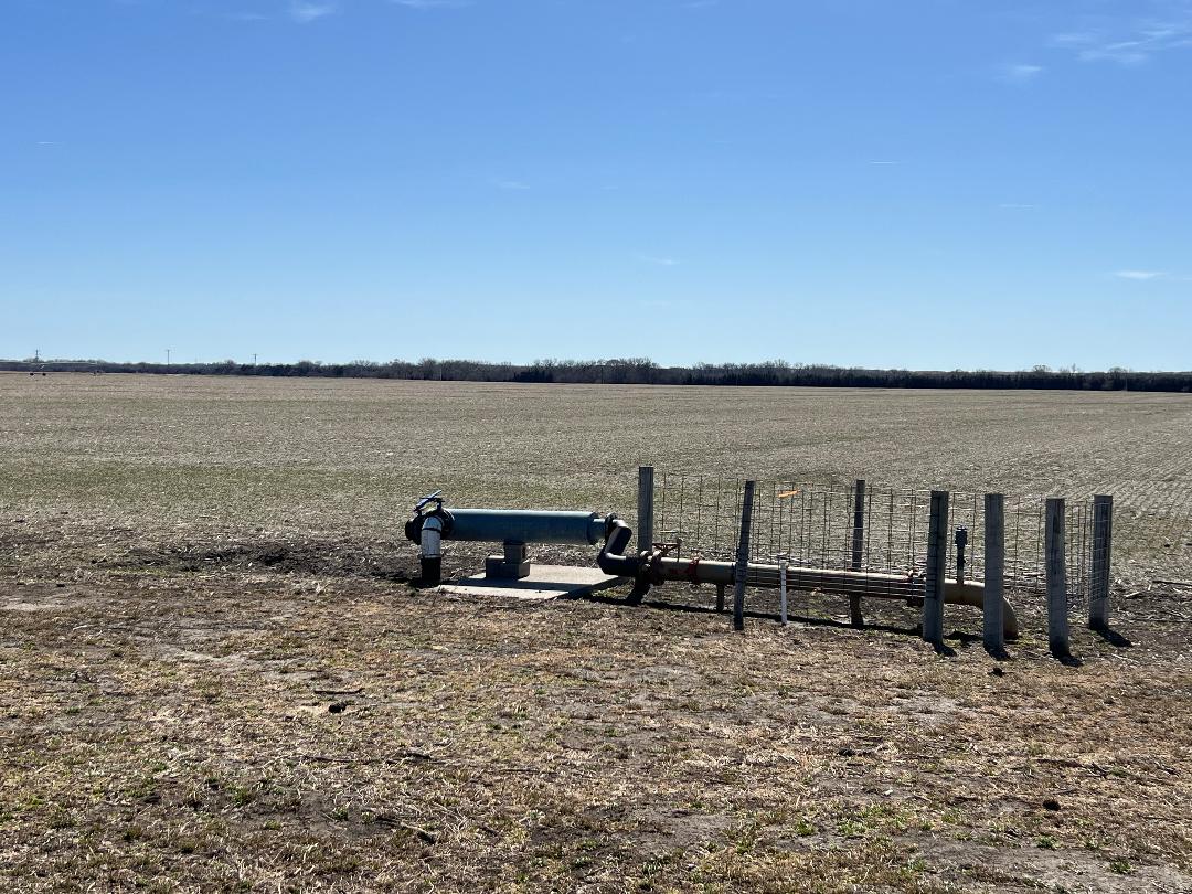
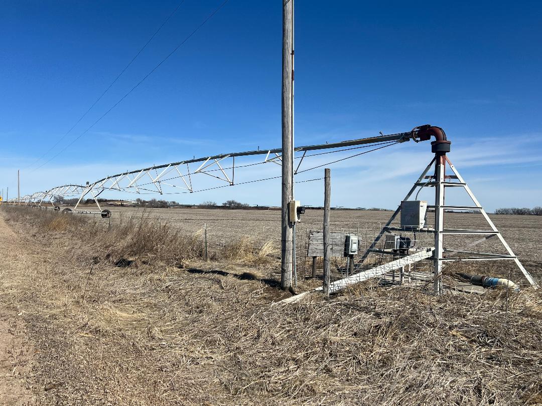
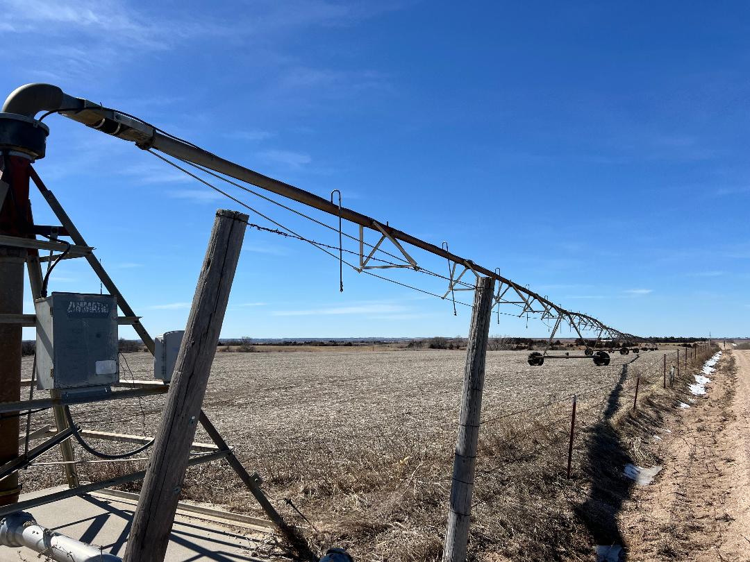
Parcel 2: Acres: 148.4+/- tax assessed acres. Land Location: From Hwy #92 & NE61A Spur junction (S of Palmer, NE) travel 1 mile south on 3rd Road. Legal Description: Part of the SW4 of 16-14-8, Merrick Co., NE. 2024 RE Taxes: $6,396.86 Land Use/Improvements: Gravity & irrigated cropland, 10 acre seed plot in SW corner. 7 tower T&L pivot, 3 tower pivot NE of bldg. site. FSA Info: 141.90 cropland acres with 136.33 base acres of corn. Certified Irrigated Acres: Central Platte NRD records indicate 144.22 acres of which 2.18 certified irrigated acres are on Parcel 5. Water Info: NE Dept of Natural Resources indicates Well #G-008026 was drilled 6-1-1998, 100’ depth with 20’ static level, 70’ pumping level, pumping 900 gpm. #G-070362 was drilled 5-26-2022, 120’ depth with 42’ static level, 60’ pumping level, pumping 1100 gpm. #G-114511 was drilled 5-2-2001, 100’ depth with 38’ static level, 42’ pumping level, pumping 45 gpm.
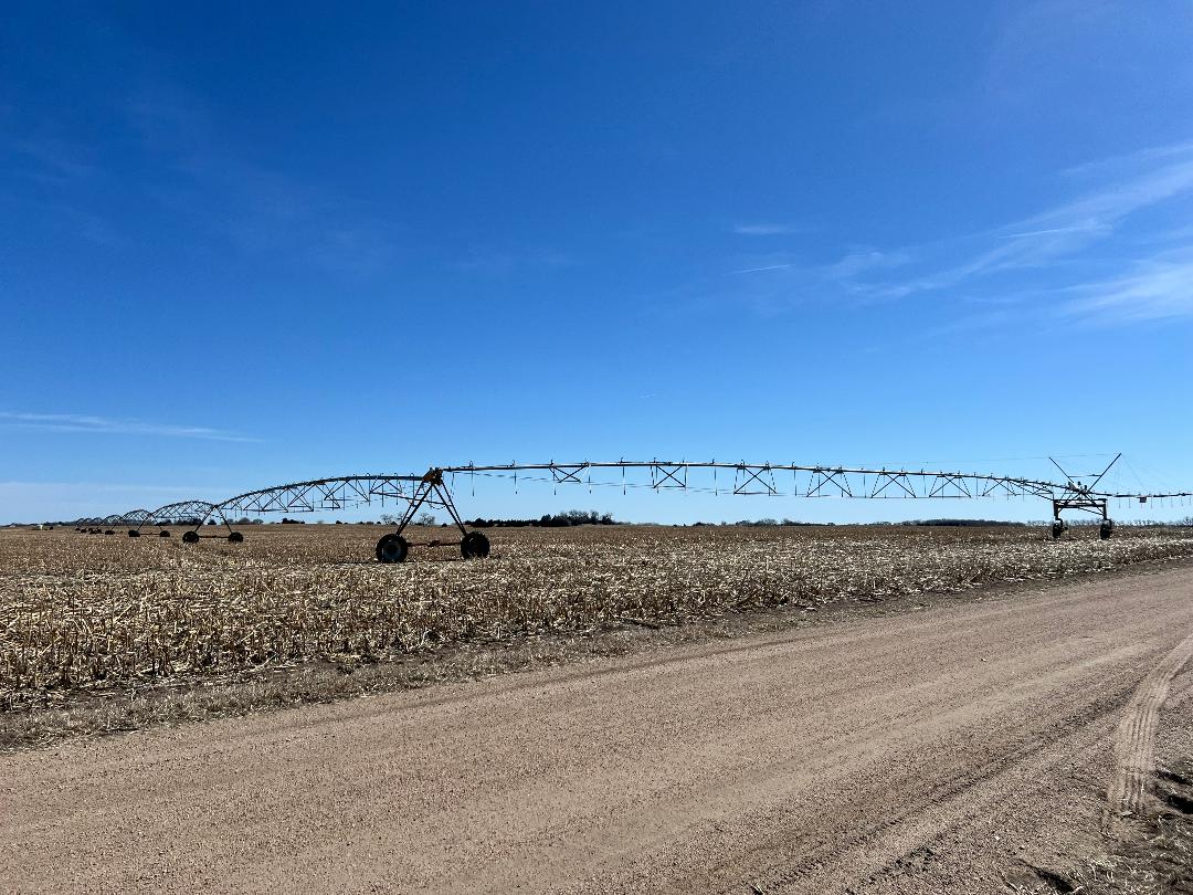
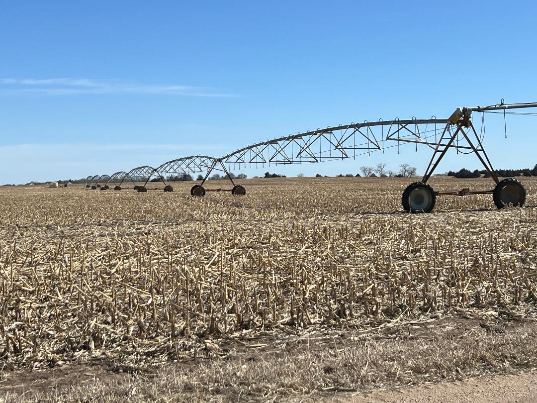
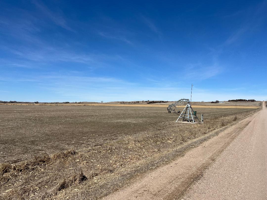
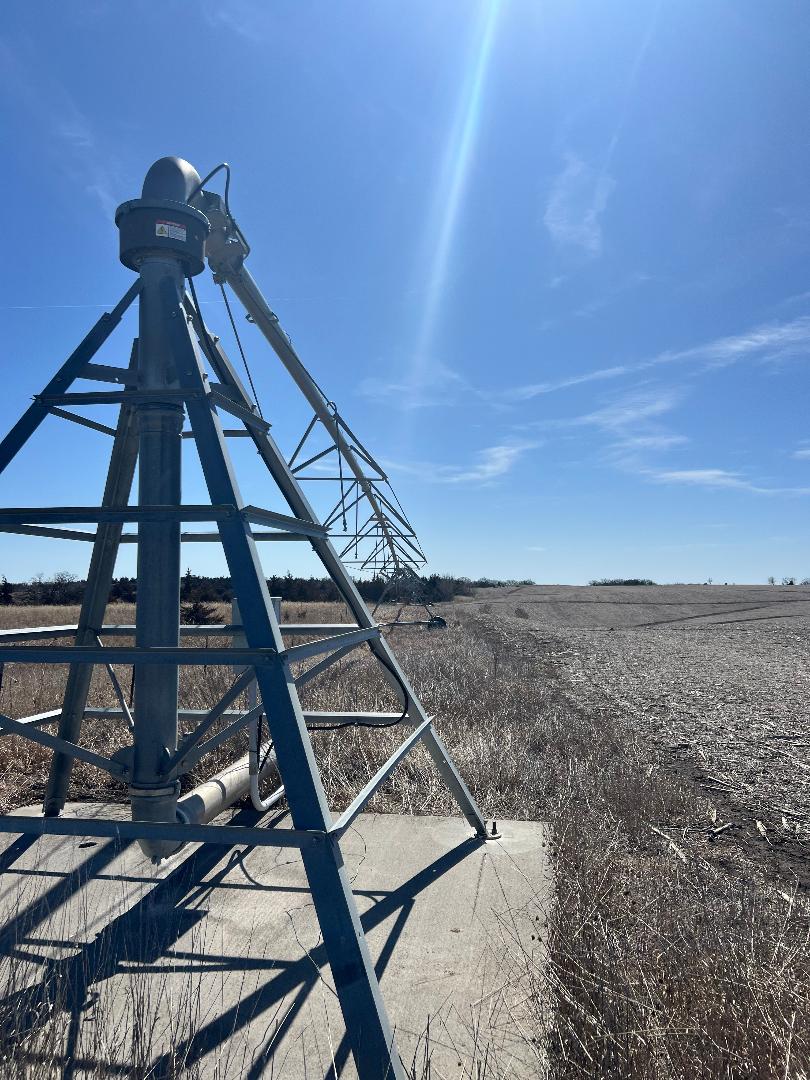
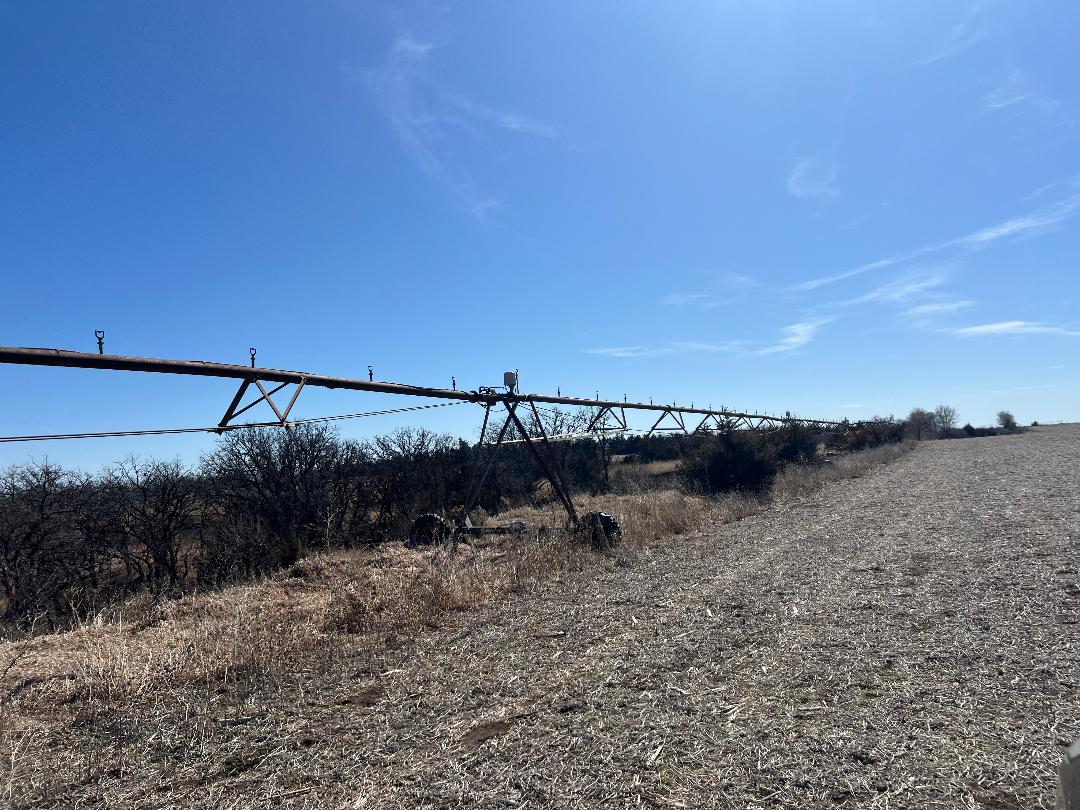
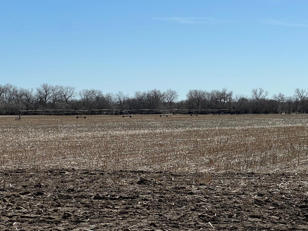
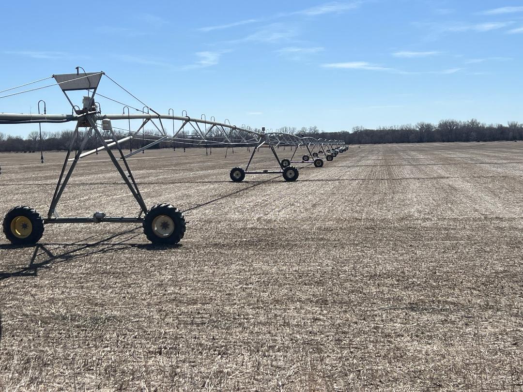
Parcel 3: Acres: 161.6+/- tax assessed acres. Land Location: From Hwy #92 & NE61A Spur junction (S of Palmer, NE) travel 1 mile south on 3rd Road, then 1 mile east on R Road. Legal Description: SE4 of 16-14-8, Merrick Co, NE. 2024 RE Taxes: $6,949.74 Land Use/Improvements: Irrigated cropland. Older full pivot w/ corner swing. FSA Info: 156.28 cropland acres with 8.40 base acres of wheat, 92.60 base acres of corn and 2.70 base acres of soybeans. Certified Irrigated Acres: Central Platte NRD records indicate 152.87 acres.
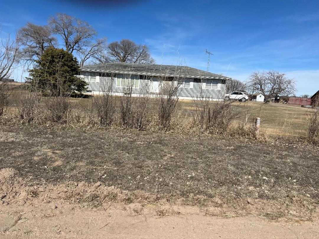
Parcel 4: Acres: 51.97+/- tax assessed acres. Land Location: From Hwy #92 & NE61A Spur junction (S of Palmer, NE) travel 4 miles east on Hwy #92, 1 mile south on 7th Road, ½ mile east on R Road. Legal Description: A tract in the SW4 of 18-14-7, Merrick Co, NE. 2024 RE Taxes: $2,823.64. Land Use/Improvements: Grass meadow, 1978 house. FSA Info: 4.87 cropland acres with .90 base acres of wheat, 2.50 base acres of corn and .70 base acres of soybeans.
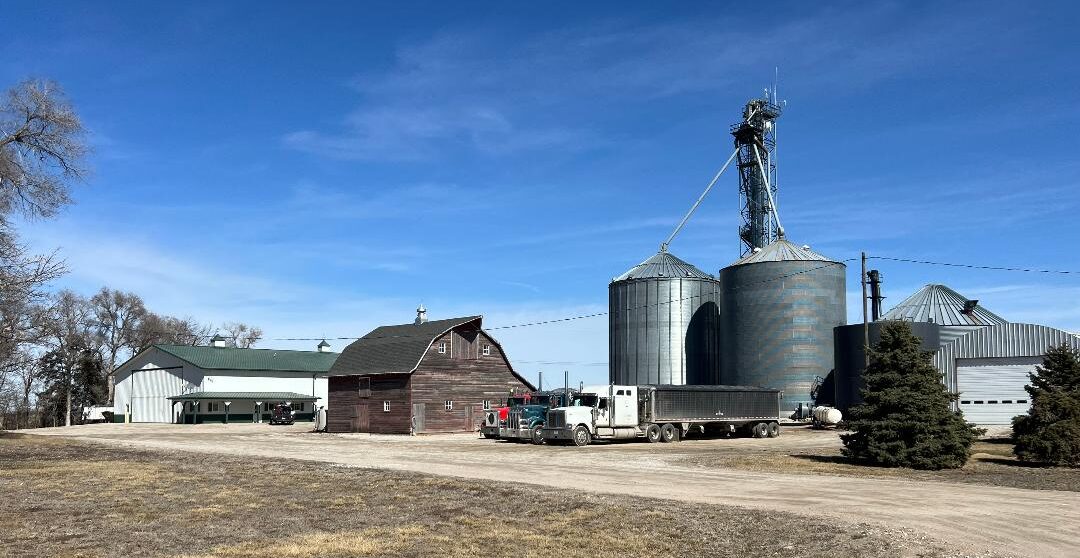
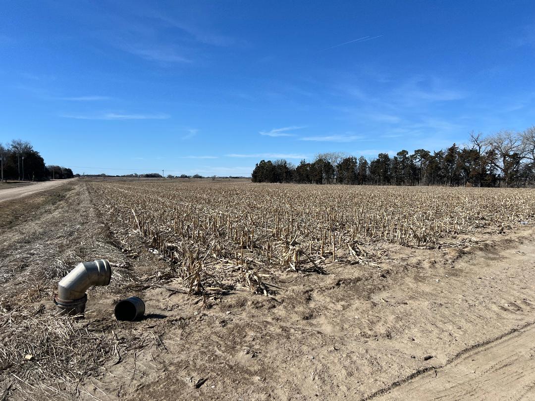
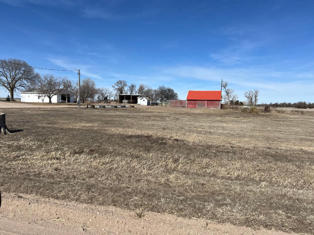
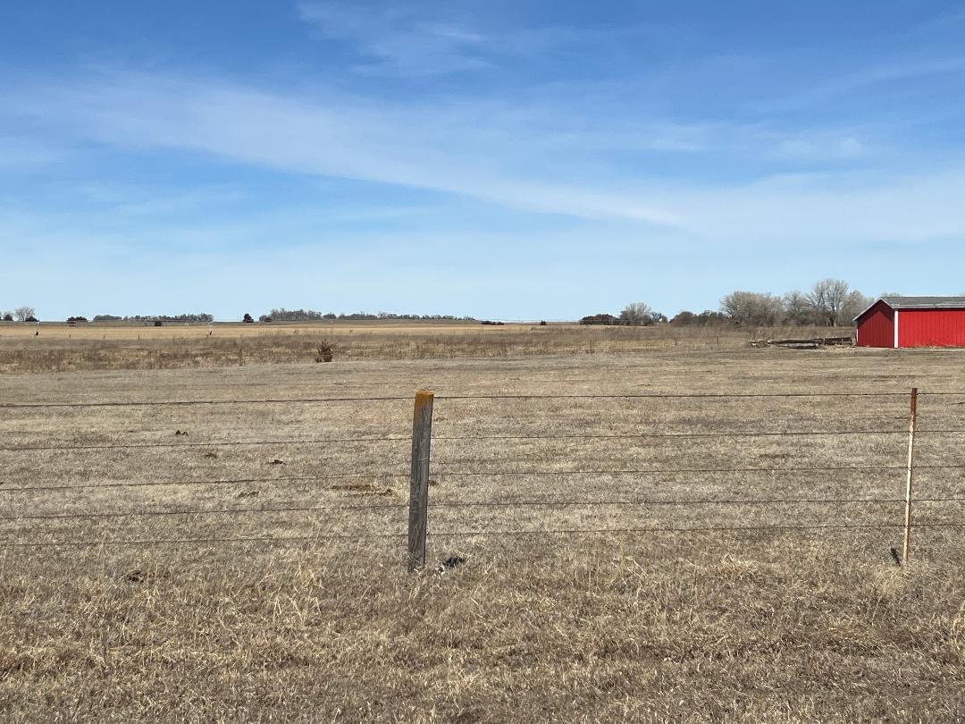
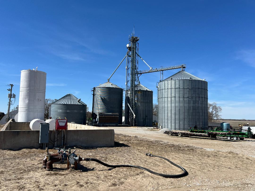
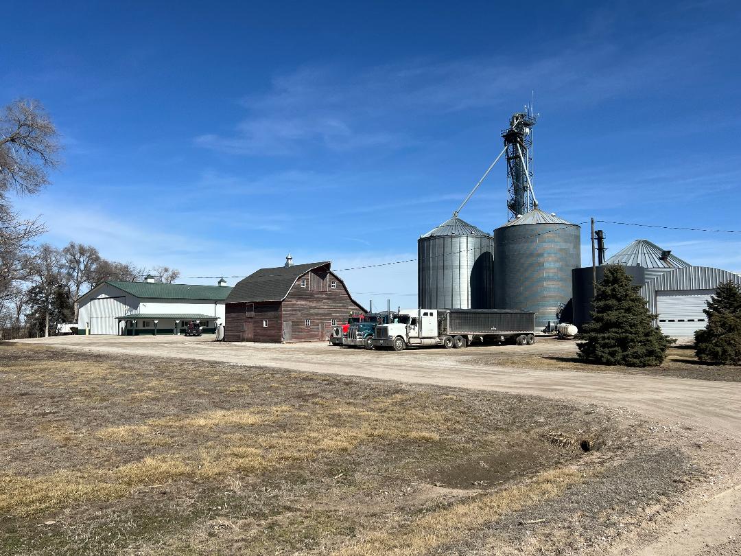
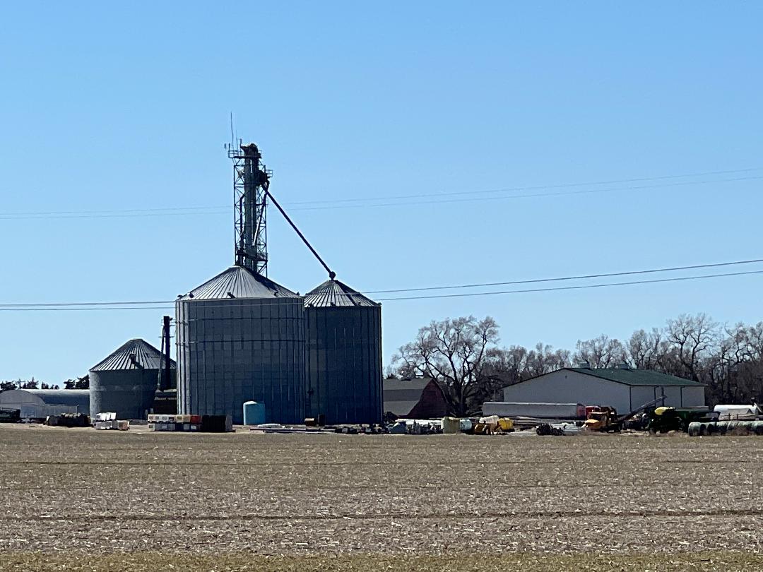
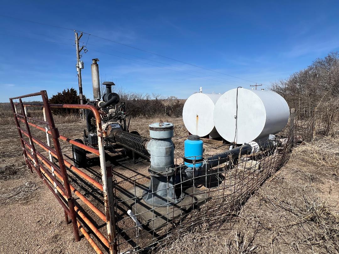
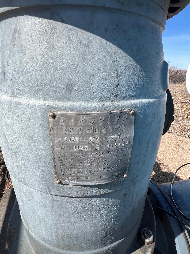
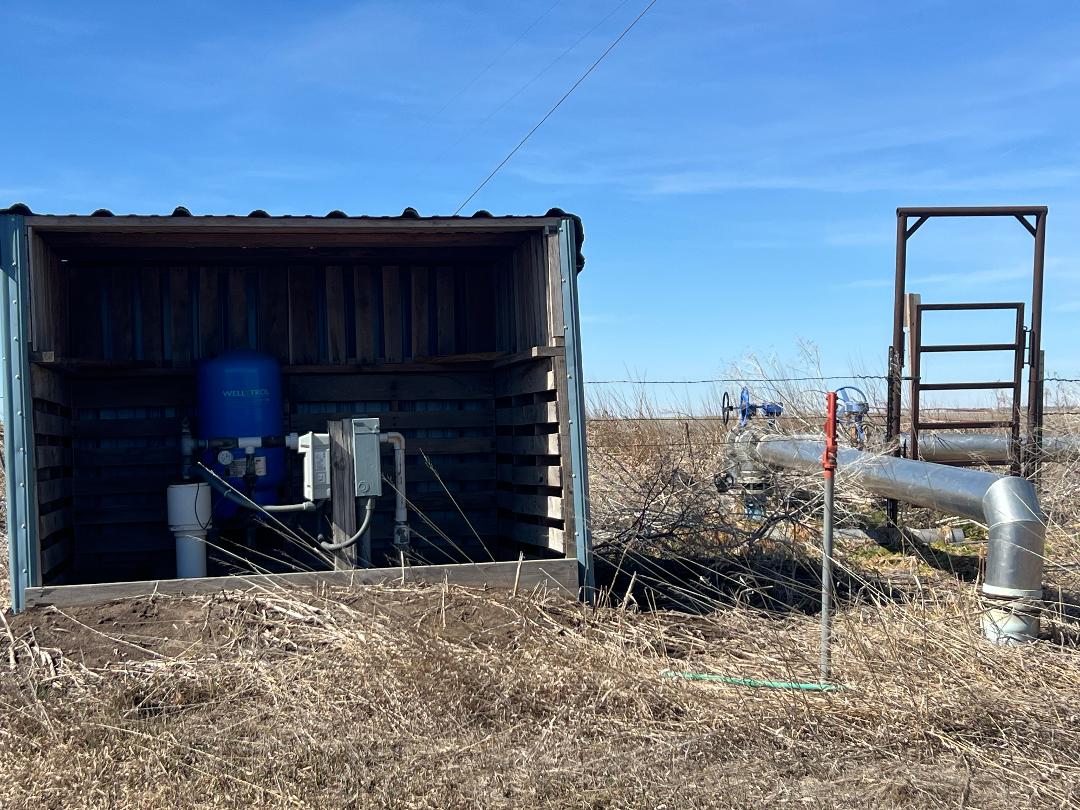
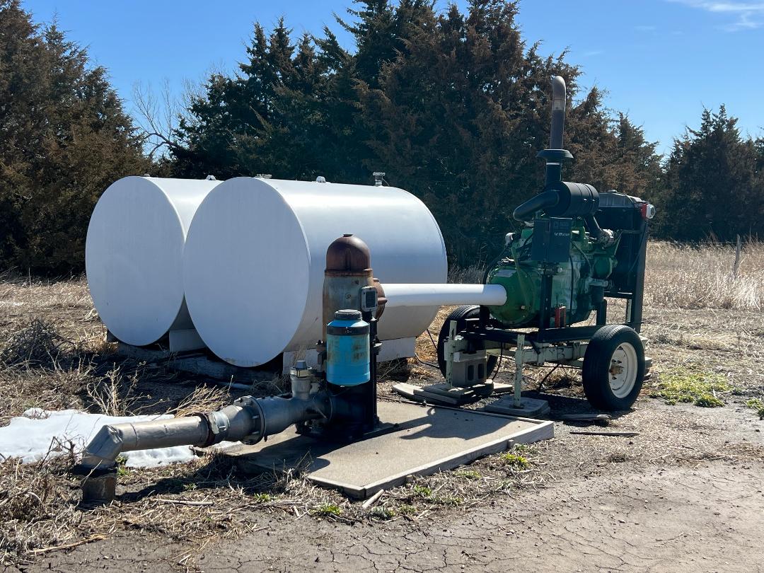
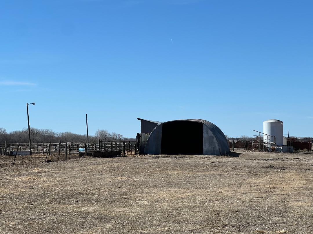
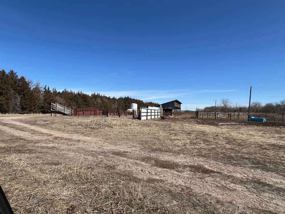
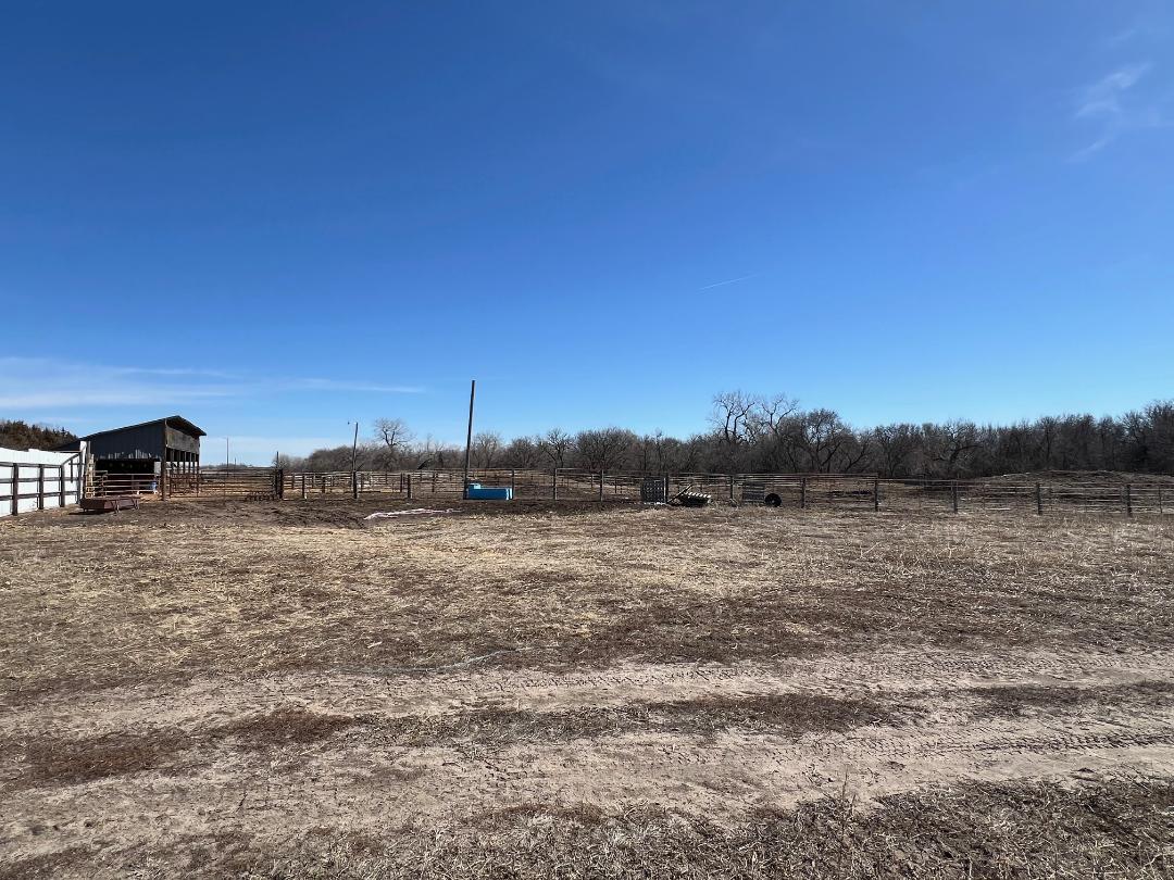
Parcel 5: Acres: 11.28+/- tax assessed acres. Land Location: From Hwy #92 & NE61A Spur junction (S of Palmer, NE) travel 2 miles south on 3rd Road, then ¼ mile east on R Road. Legal Description: A tract in Part of the SW4 of 16-14-8, Merrick Co, NE. 2024 RE Taxes: $5,995.84 Land Use/Improvements: Old uninhabitable house, 72x90 heated shop, 50x135 curvette bldg. 50K bu, 2-96K bu & 165K bu grain bins, 80K gal fuel storage & 160K gal fertilizer storage. Certified Irrigated Acres: Central Platte NRD records indicate 2.18 acres. Water Info: NE Dept of Natural Resources indicates Well #G-129548 was drilled 8-26-2004, 100’ depth with 38’ static level, 40’ pumping level, pumping 45 gpm.
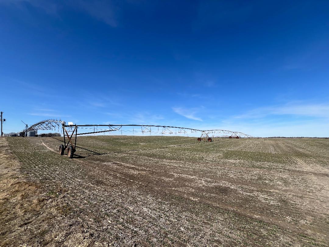
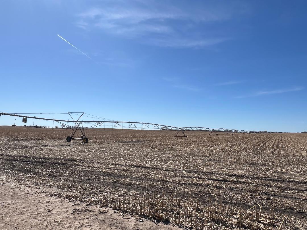
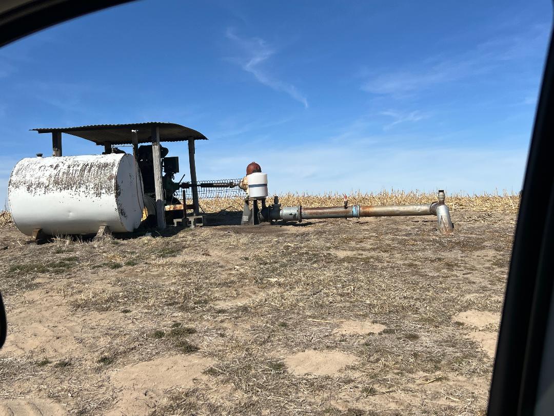
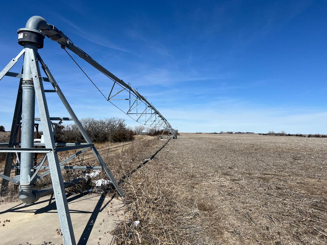
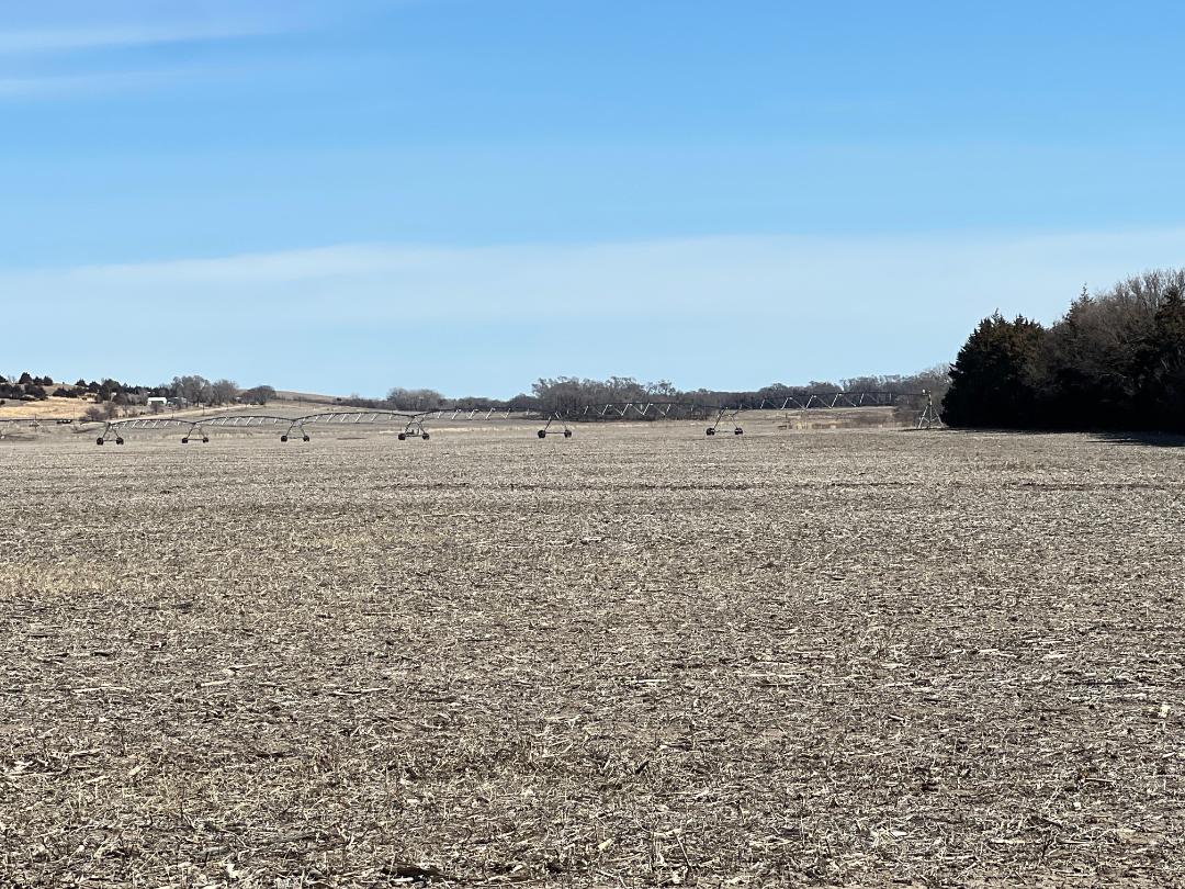
Parcel 6: Acres: 160.36+/- tax assessed acres. Land Location: From Hwy #92 & NE61A Spur junction (S of Palmer, NE) travel 1 mile east on Hwy #92, then 1 mile south on 4th Road. Legal Description: NW4 of 22-14-8, Merrick Co, NE. 2024 RE Taxes: $7,102.06 Land Use/Improvements: Irrigated cropland with older 7 tower pivot and diesel well. FSA Info: 156.73 cropland acres with 152.20 base acres of corn. Certified Irrigated Acres: Central Platte NRD records indicate 149.3 acres. Water Info: NE Dept of Natural Resources indicates Well #G-006921 was drilled 7-21-1983, 95’ depth with 31’ static level, 60’ pumping level, pumping 900 gpm.
Parcel 7: Acres: 83+/- tax assessed acres. Land Location: From Cushing, NE 1 mile east on 18th Avenue. Legal Description: E2NE4 of 9-15-9, Howard Co, NE. 2024 RE Taxes: $2,835.80 Land Use/Improvements: Row crop with Loup River frontage. Older half swing pivot. FSA Info: 76.20 cropland acres with 65.40 base acres of corn. Certified Irrigated Acres: Lower Loup NRD records indicate 76.2 acres. Water Info: NE Dept of Natural Resources indicates Well #G-011294 was drilled 1-20-1956, 150’ depth with 32’ static level, 100’ pumping level, pumping 500 gpm. Twin Loups Rec District records indicate 75.5 acres with $30/acre tolls & $30/acre assessments.
Parcel 8: Acres: 80+/- tax assessed acres. Land Location: From Hwy #92 & NE61A Spur junction (S of Palmer, NE) travel 2 miles west on Hwy #92, then 5 miles south on Merrick Road. Legal Description: S2SE4 of 1-13-9, Howard Co., NE. 2024 RE Taxes: $1,334.00 Land Use/Improvements: Irrigated cropland with older half swing pivot. FSA Info: 79.29 cropland acres with 78.40 base acres of corn. Certified Irrigated Acres: Central Platte NRD records indicate 68.32 acres. Water Info: NE Dept of Natural Resources indicates Well #G-063489 was drilled 3-10-1980, 195’ depth with 34’ static level, 63’ pumping level, pumping 1000 gpm.
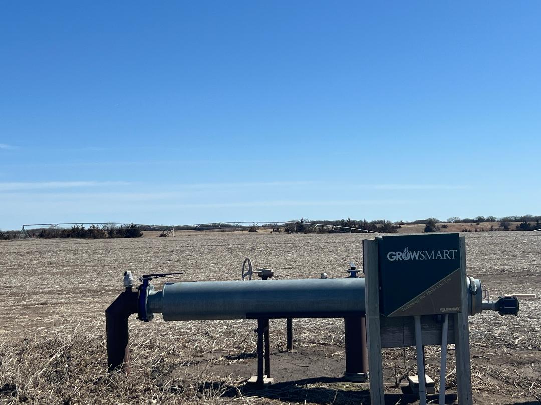
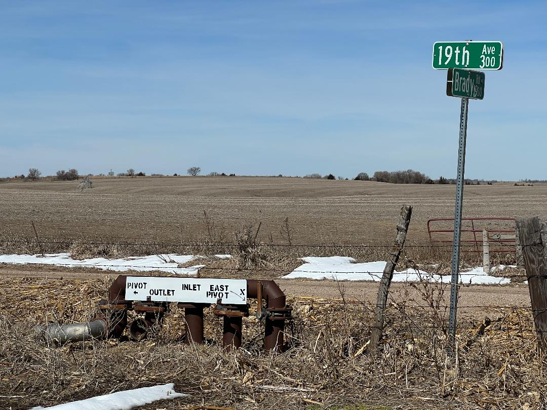
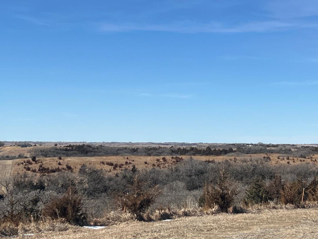
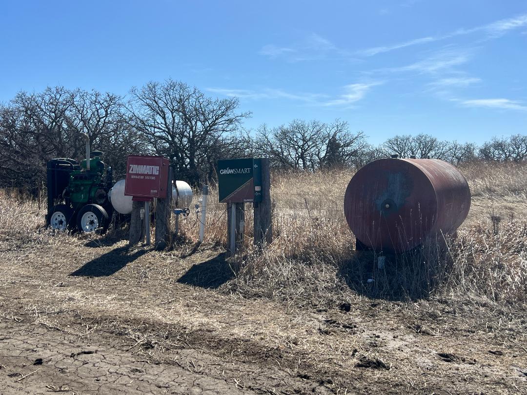
Parcel 9 & 10: Acres: 516.01+/- tax assessed acres. Land Location: From Cushing NE travel 2 ½ miles northeast on 19th Avenue. Legal Description: N2; SE4; E2SW4 LESS a tract in 34-16-9, Howard Co., NE. 2024 RE Taxes: $11,642.90 Land Use/Improvements: 342 acres irrigated cropland, 173 acres grass. 8 tower pivot, JD 175hp diesel power unit, 2K gal fuel tank, 7, 6, 5 & 3 tower Zimmatic pivots, older Zimmatic pivot. FSA Info: 431.34 cropland acres with 17.80 base acres of wheat, 381.90 base acres of corn and 1.30 base acres of soybeans – includes Parcels 11, 12 & 13. Certified Irrigated Acres: Lower Loup NRD records indicate 282.2 acres. Water Info: NE Dept of Natural Resources indicates Well #G-062345 was drilled 5-18-2011, 420’ depth with 182’ static level, 368’ pumping level, pumping 800 gpm. Well G-062346 was drilled 4-27-1979, 364’ depth with 160’ static level, 330’ pumping level, pumping 375 gpm. Well G-116965 was drilled 7-25-2002, 400’ depth with 174’ static level, 383’ pumping level, pumping 450 gpm. Well G-137248 was drilled 11-1-2005, 277’ depth with 160’ static level, 182’ pumping level, pumping 45 gpm.
Parcel 11: Acres: 639+/- tax assessed acres. Land Location: 3 miles east of Cushing, NE. Legal Description: All of 2-15-9, Howard Co., NE. 2024 RE Taxes: $5,927.62 Land Use: Hard grass pasture FSA Info: 431.34 cropland acres with 17.80 base acres of wheat, 381.90 base acres of corn and 1.30 base acres of soybeans – includes Parcels 9, 10, 12 & 13.
Parcel 12: Acres: 328.82+/- tax assessed acres. Land Location: From Cushing, NE travel 4 miles east on Cushing Road. Legal Description: N2; NE4SW4 EXCEPT portions of land of 11-15-9, Howard Co, NE. The sale of a part of Parcel 12 is subject to the homestead and the life estate interests of Debtors Dean & Jan Thede for the home at the 292 Cushing Rd., St. Paul, NE 68873, per the Bankruptcy Plan, Sec. XIV(C), Case 24-40989. 2024 RE Taxes: $6,839.88 Land Use/Improvements: 265 acres of hard grass pasture, ¾ mile Loup River frontage, 60 acres ditch water pivot cropland. 7 tower Zimmatic pivot. FSA Info: 431.34 cropland acres with 17.80 base acres of wheat, 381.90 base acres of corn and 1.30 base acres of soybeans – includes Parcels 9, 10, 11 & 13. Certified Irrigated Acres: Lower Loup NRD records indicate 136.87 acres combined with Parcel 13. Water Info: Twin Loups Rec District records indicate 124.3 acres with $30/acre tolls & $30/acre assessments and combined with Parcel 13.
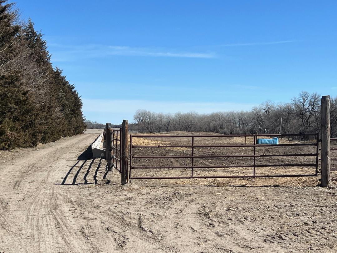
Parcel 13: Acres: 141+/- tax assessed acres. Land Location: From Cushing, NE travel 4 ½ miles east on Cushing Road. Legal Description: SE4 of 11-15-9, Howard Co, NE. 2024 RE Taxes: $3,729.92 Land Use/Improvements: 56 acres of grass, pens, Loup River frontage, 84 irrigated cropland acres. FSA Info: 431.34 cropland acres with 17.80 base acres of wheat, 381.90 base acres of corn and 1.30 base acres of soybeans – includes Parcels 9, 10, 11, & 12. Certified Irrigated Acres: Lower Loup NRD records indicate 136.87 acres combined with Parcel 12. Water Info: Twin Loups Rec District records indicate 124.3 acres with $30/acre tolls & $30/acre assessments and combined with Parcel 12.
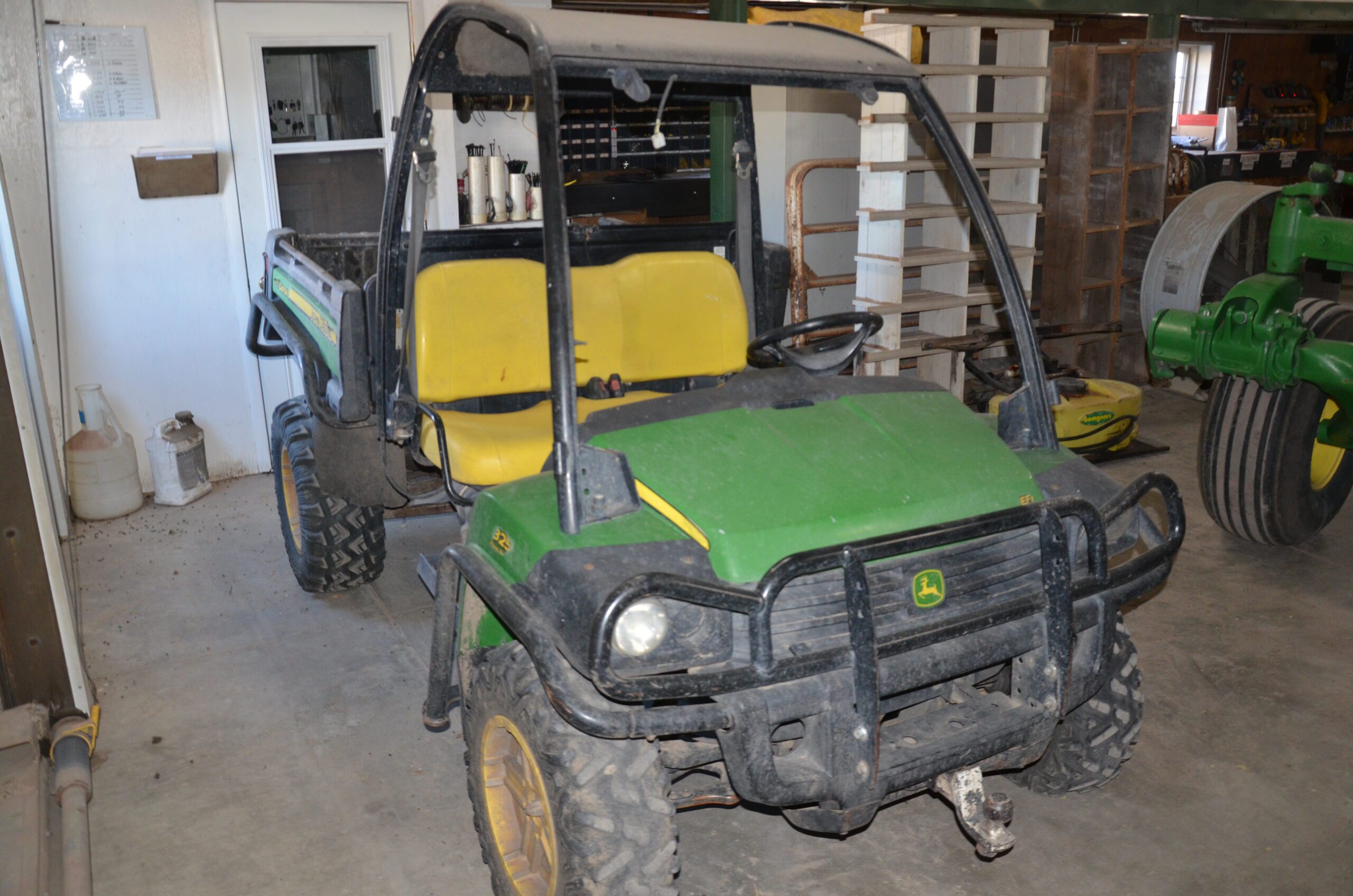
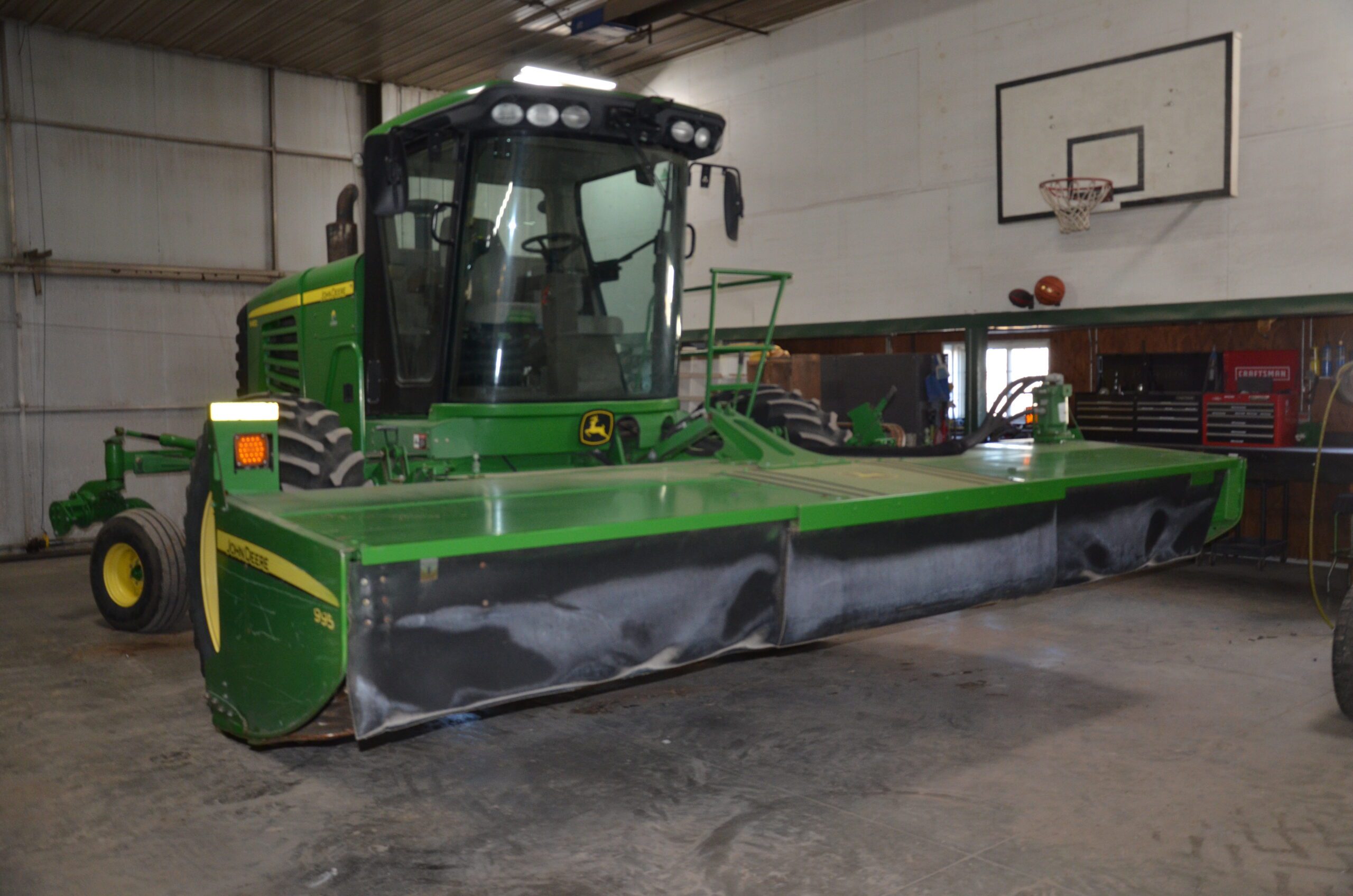
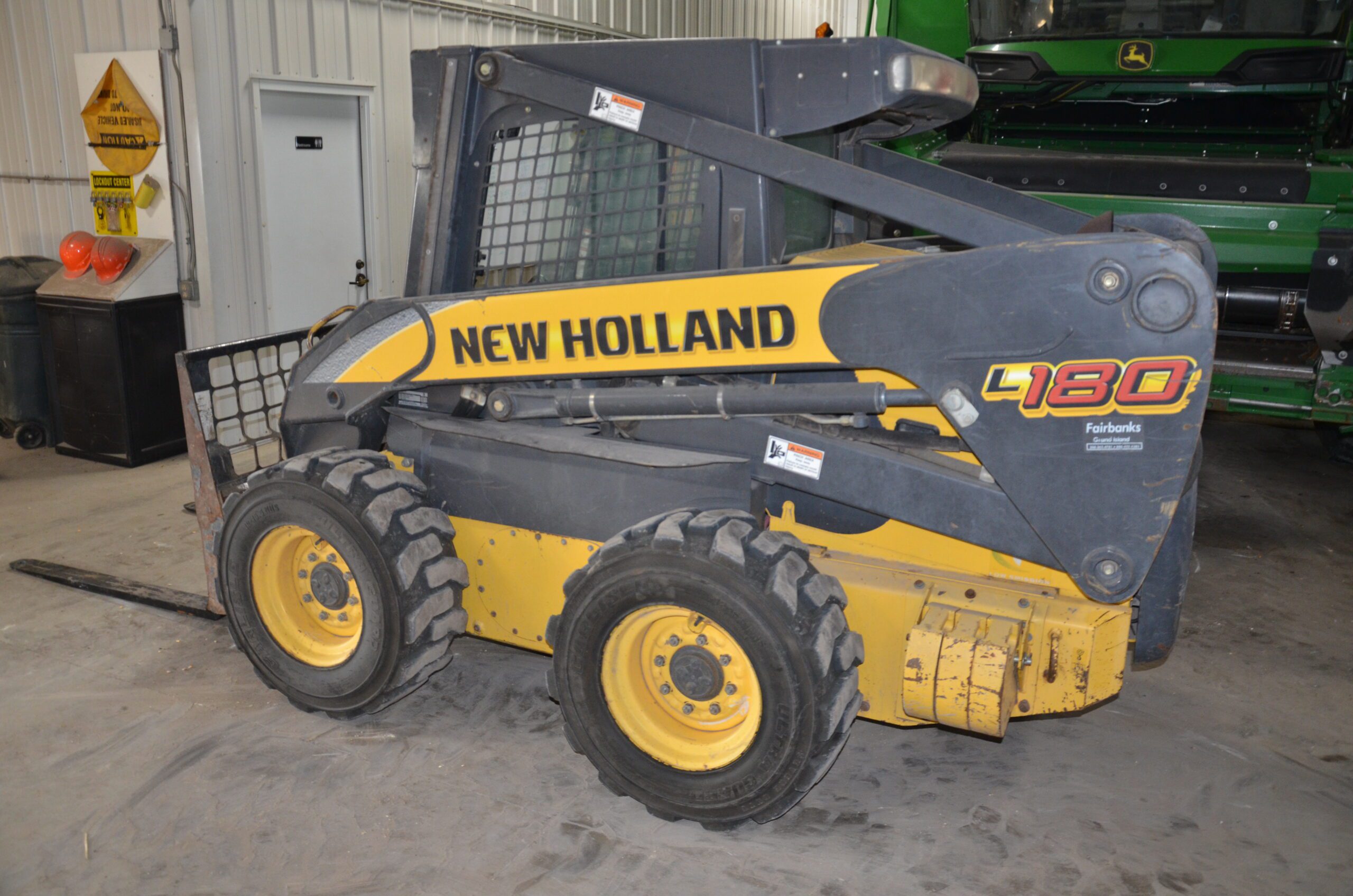
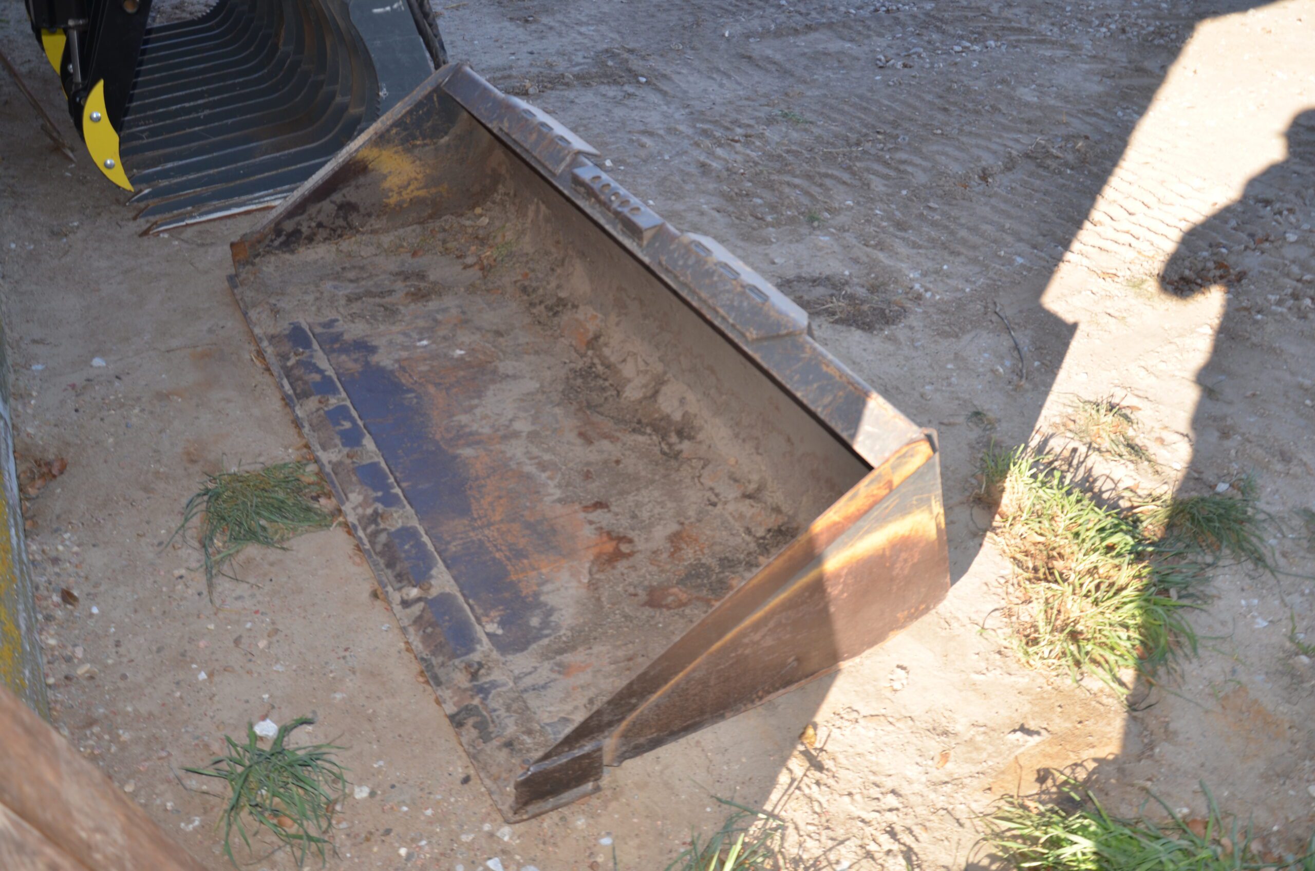
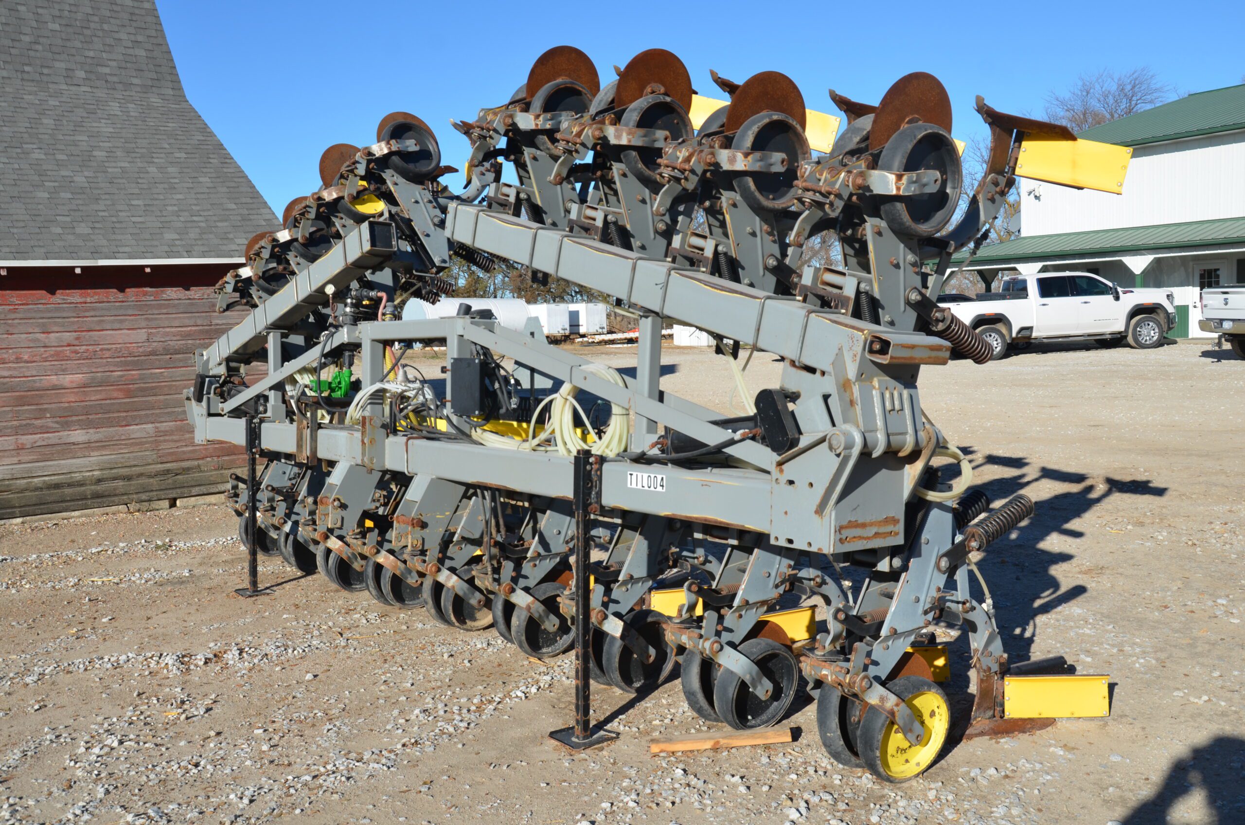
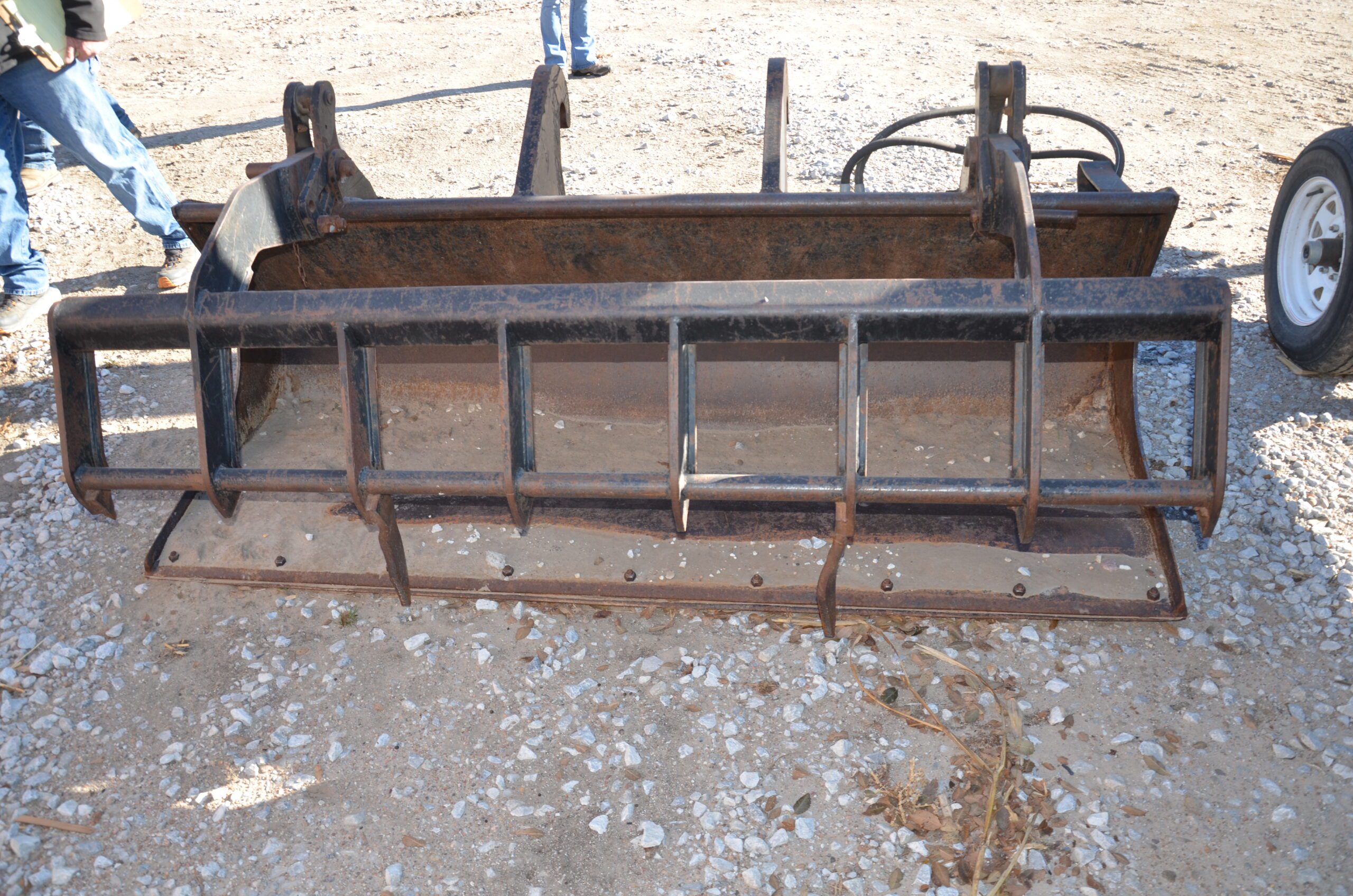
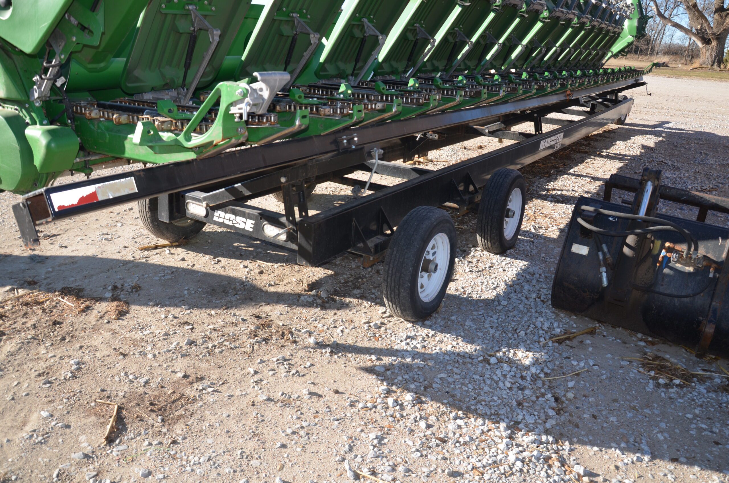
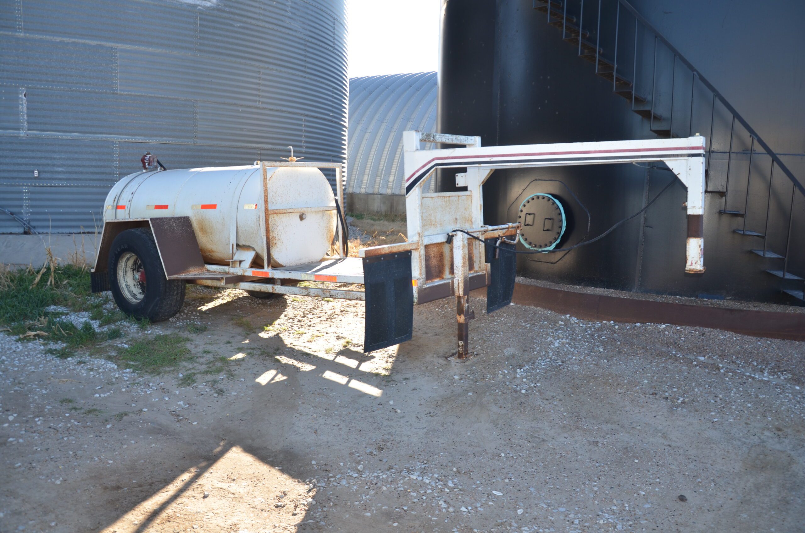
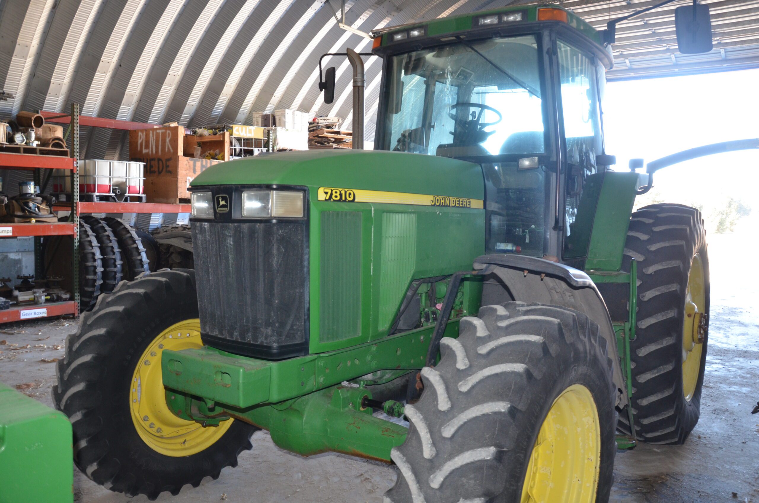
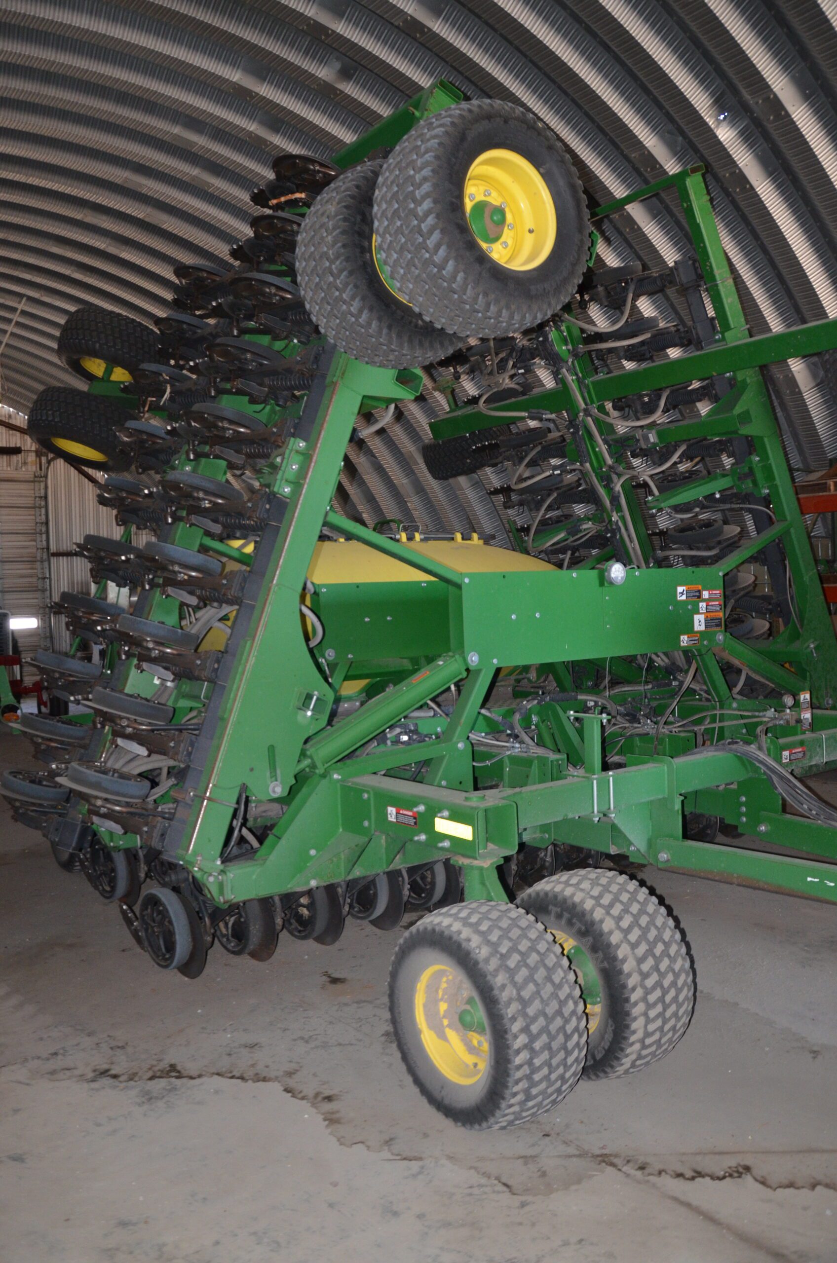
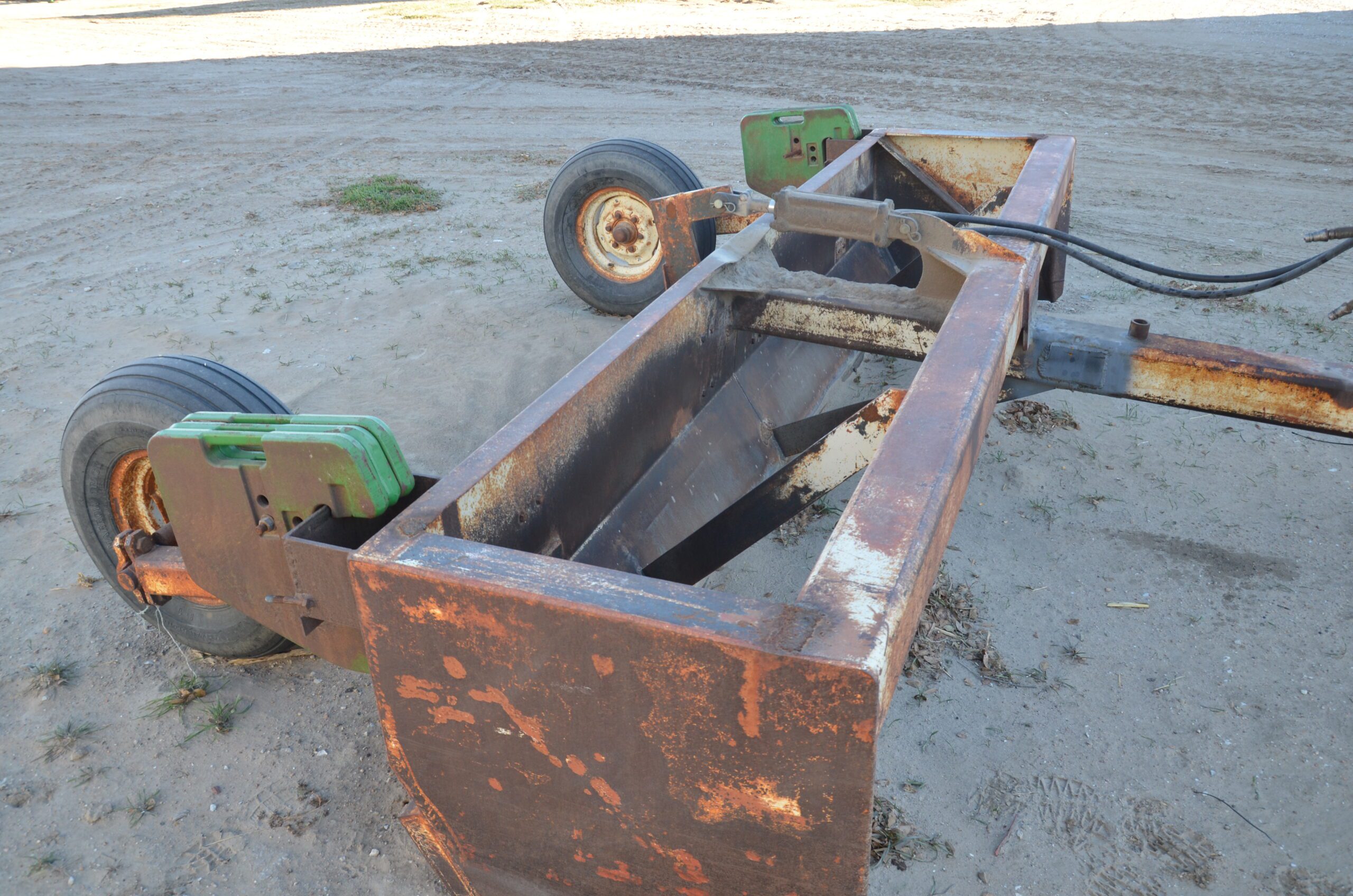
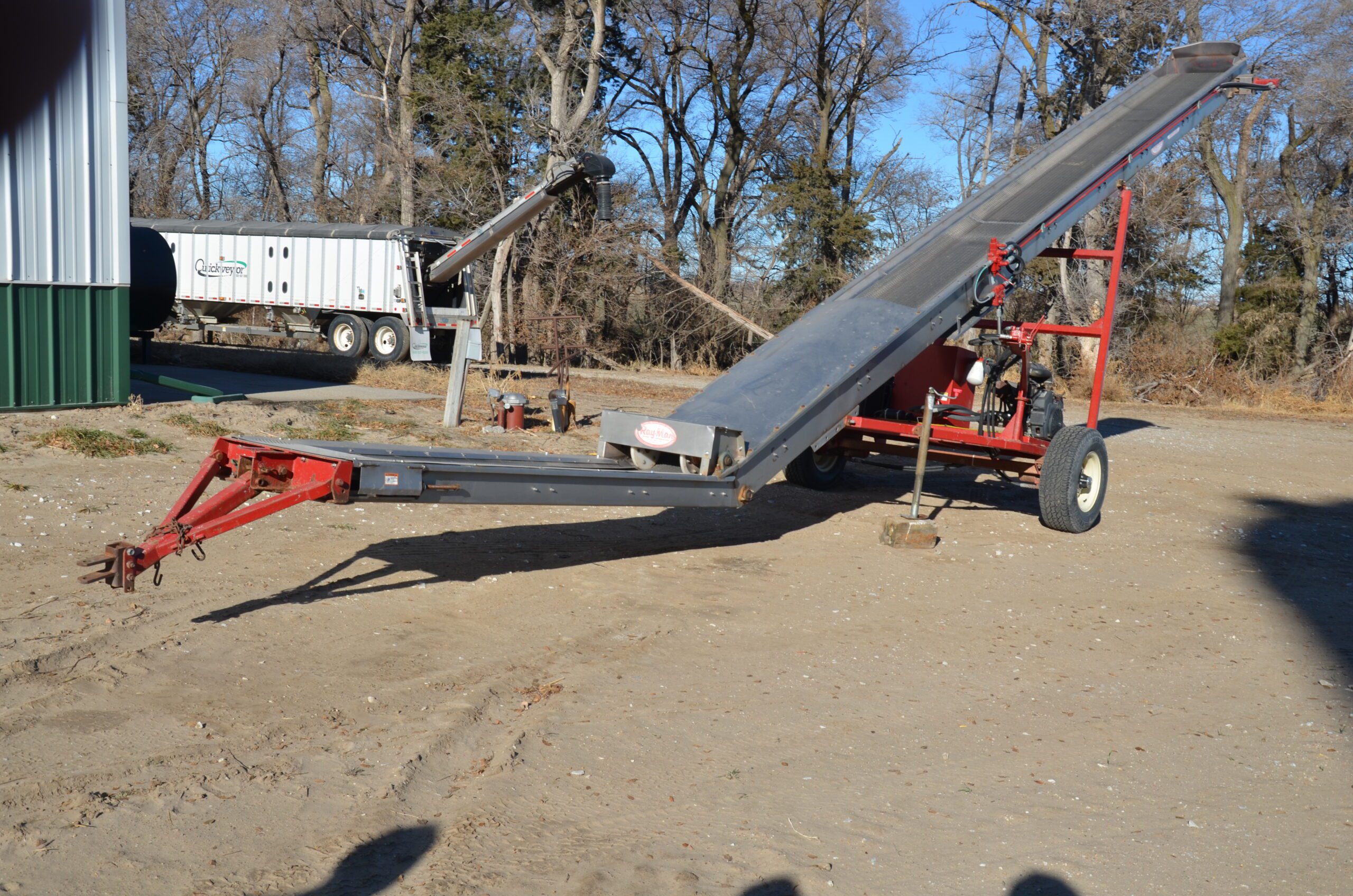
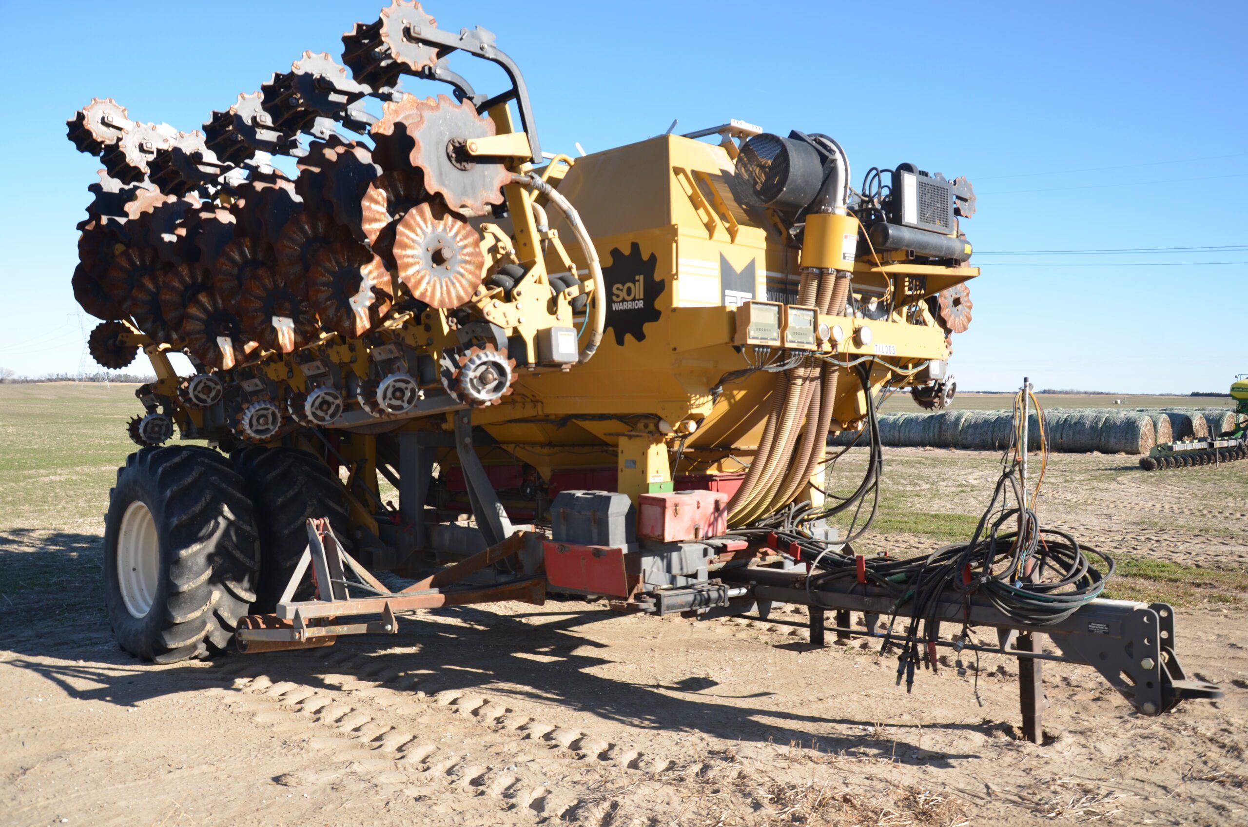
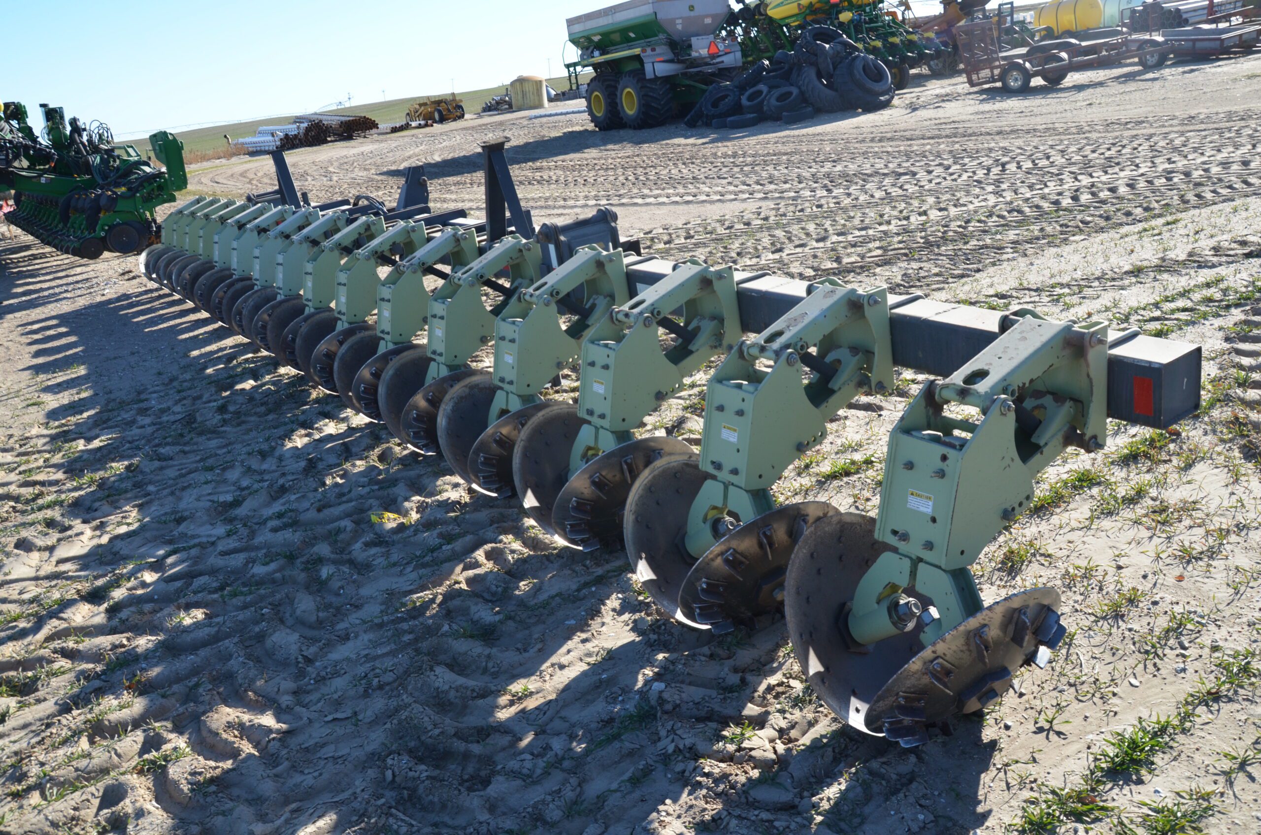
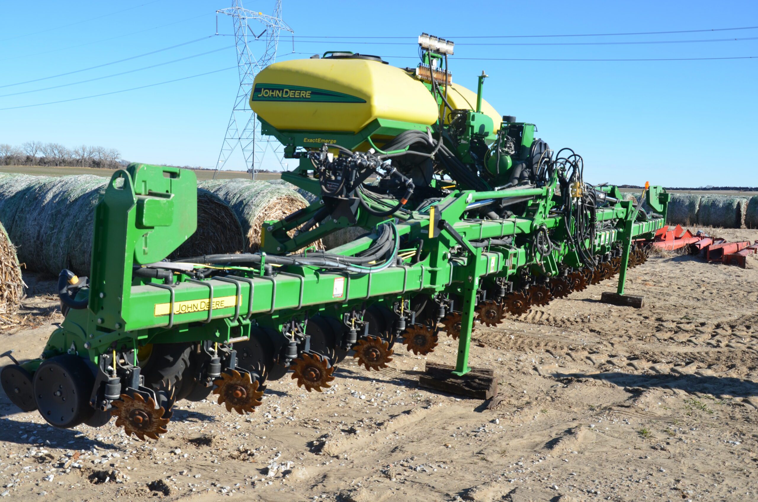
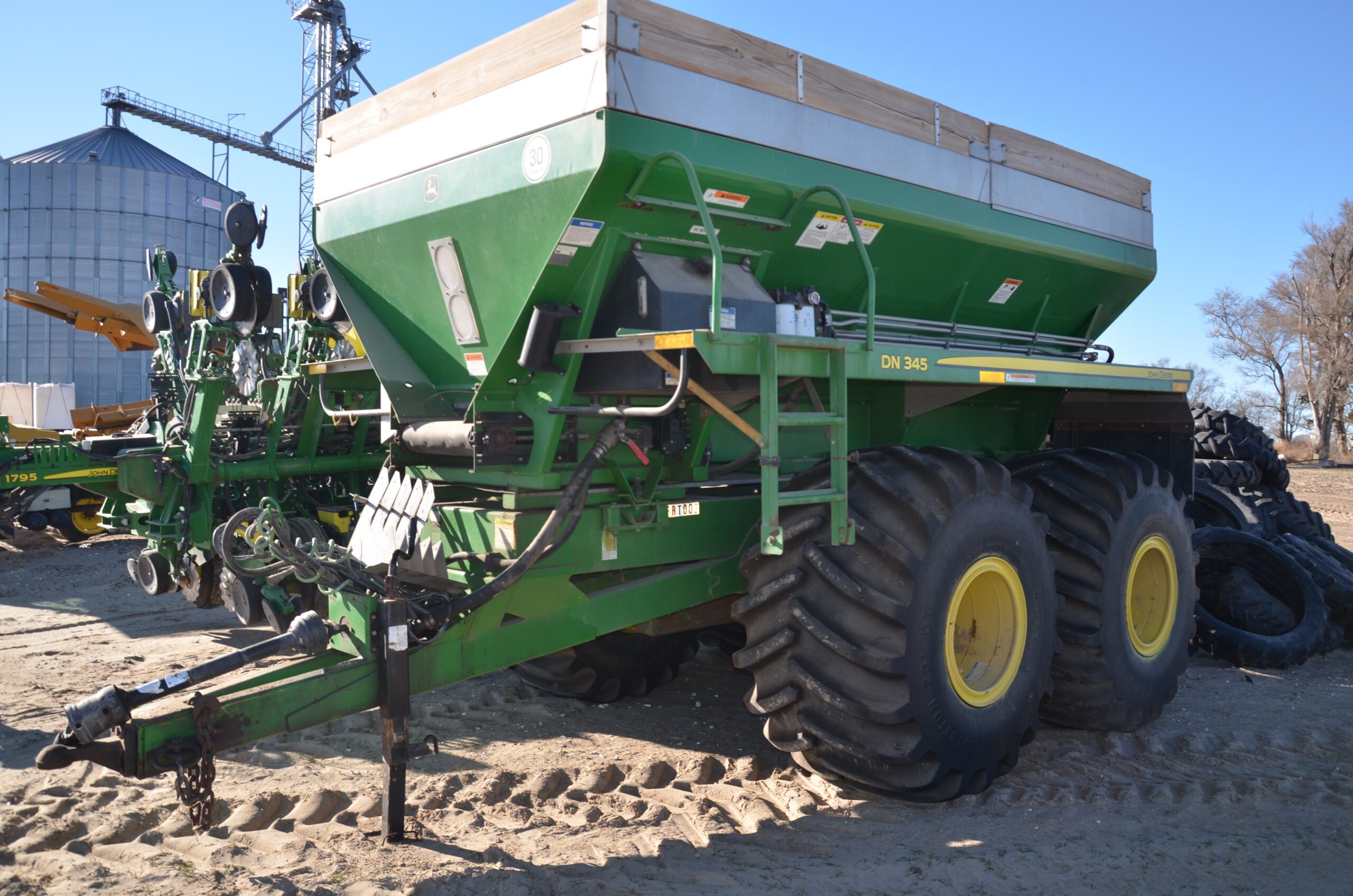
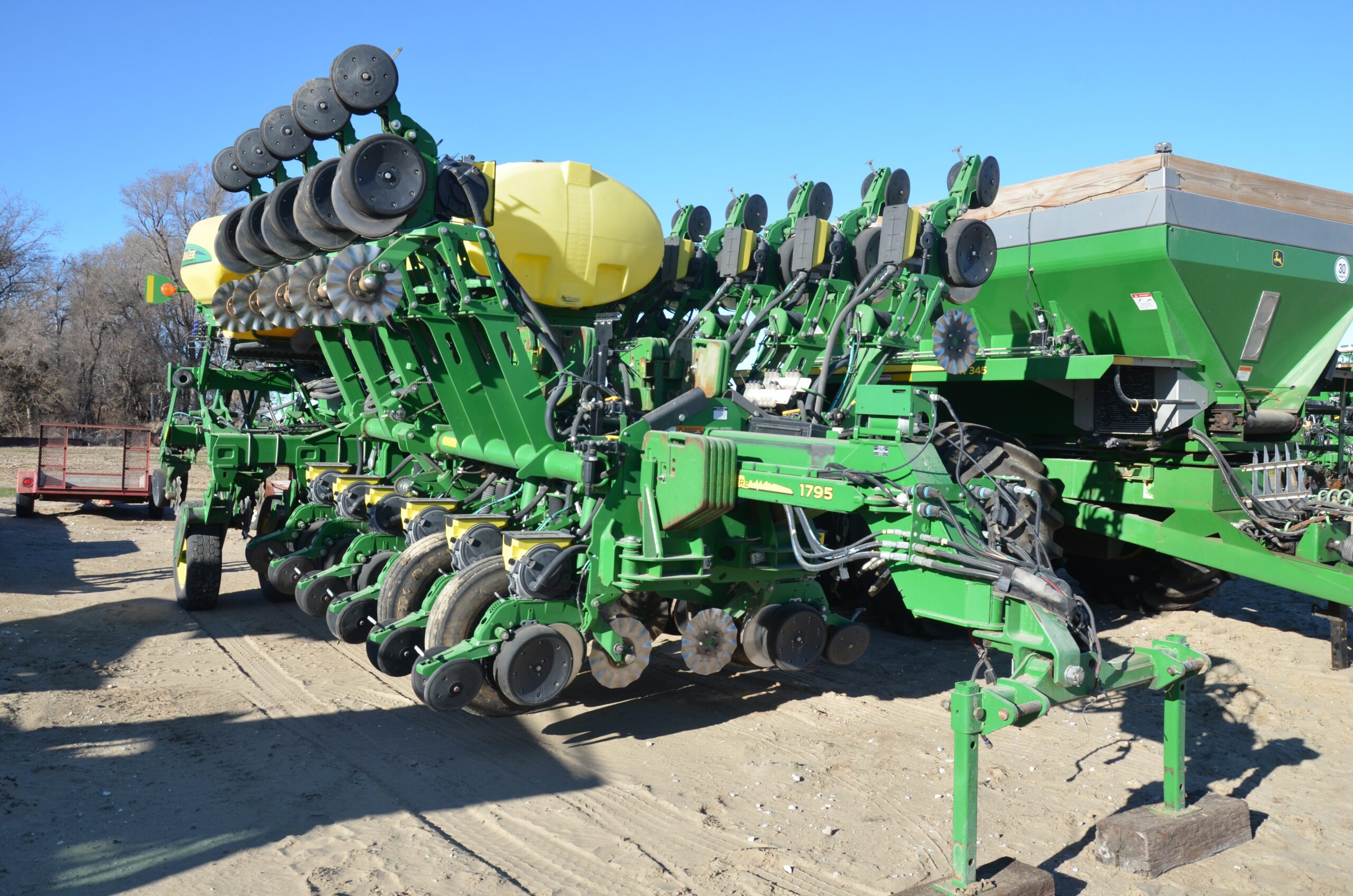
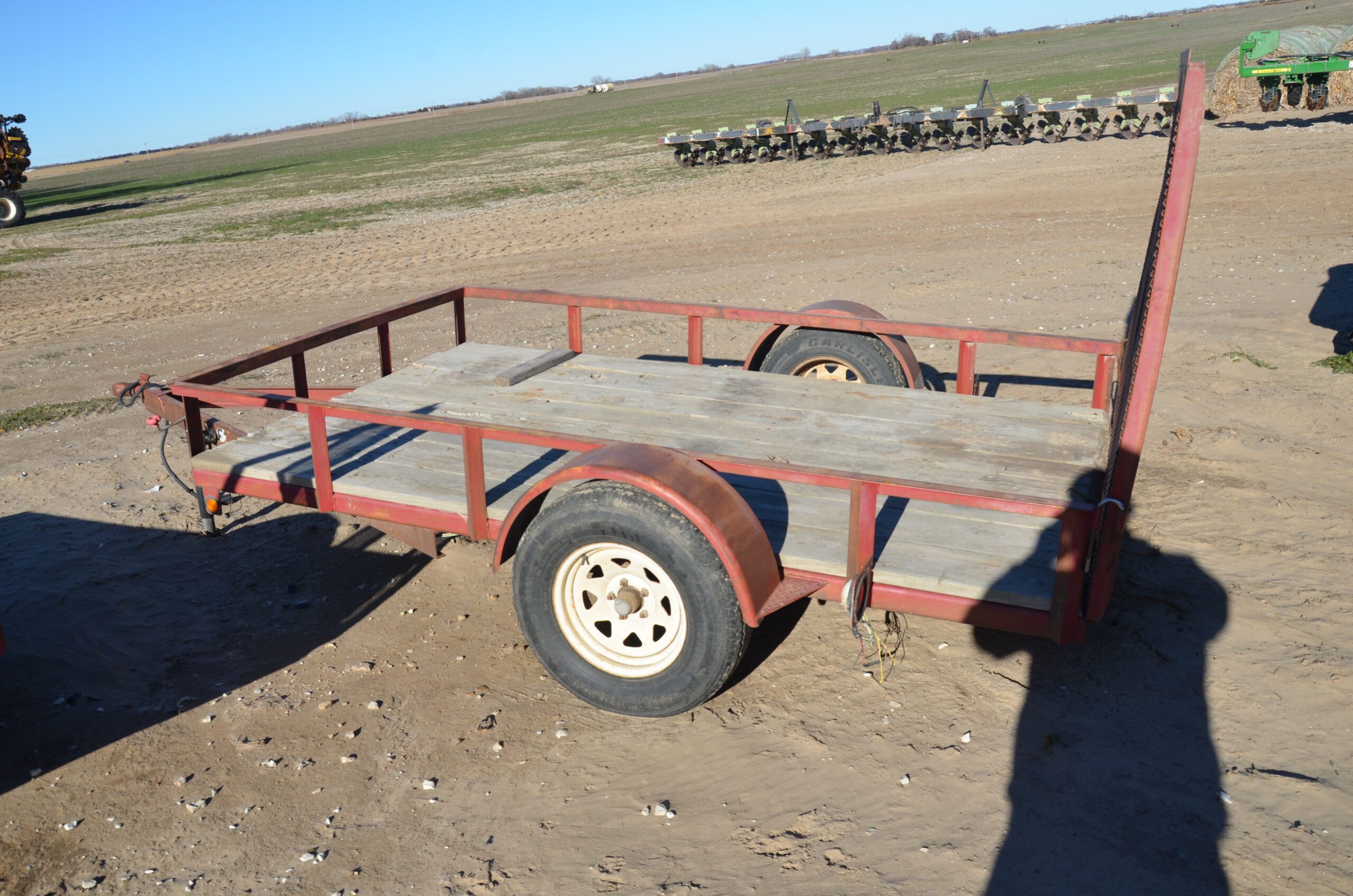
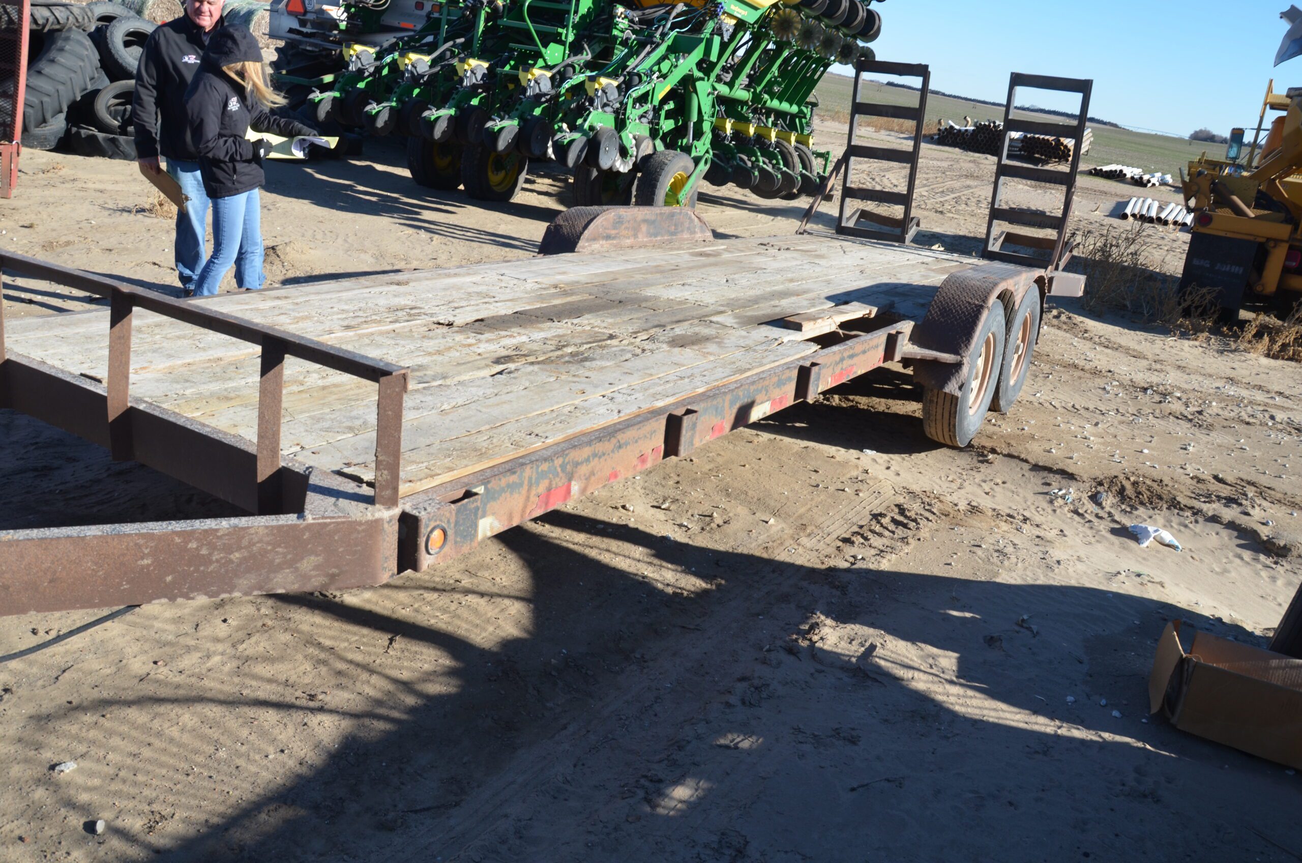
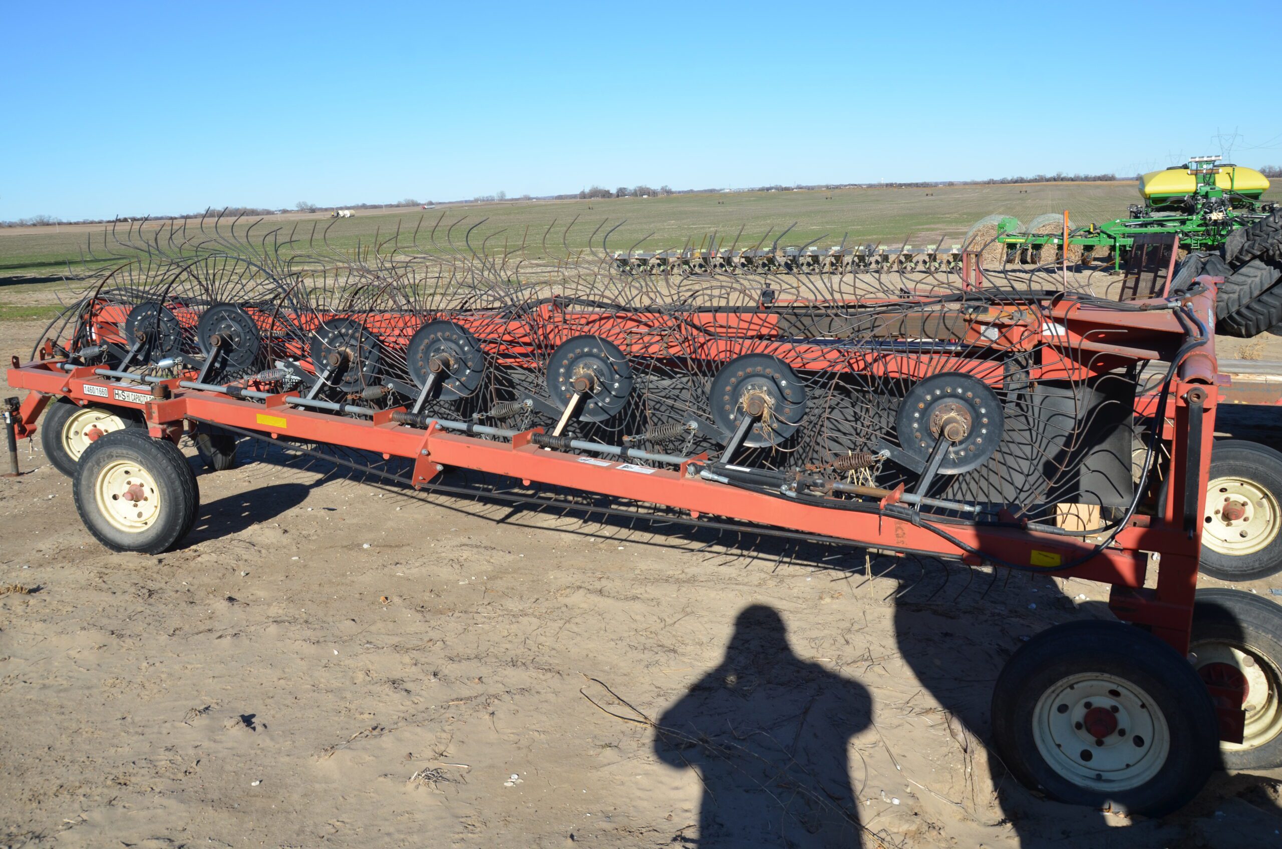
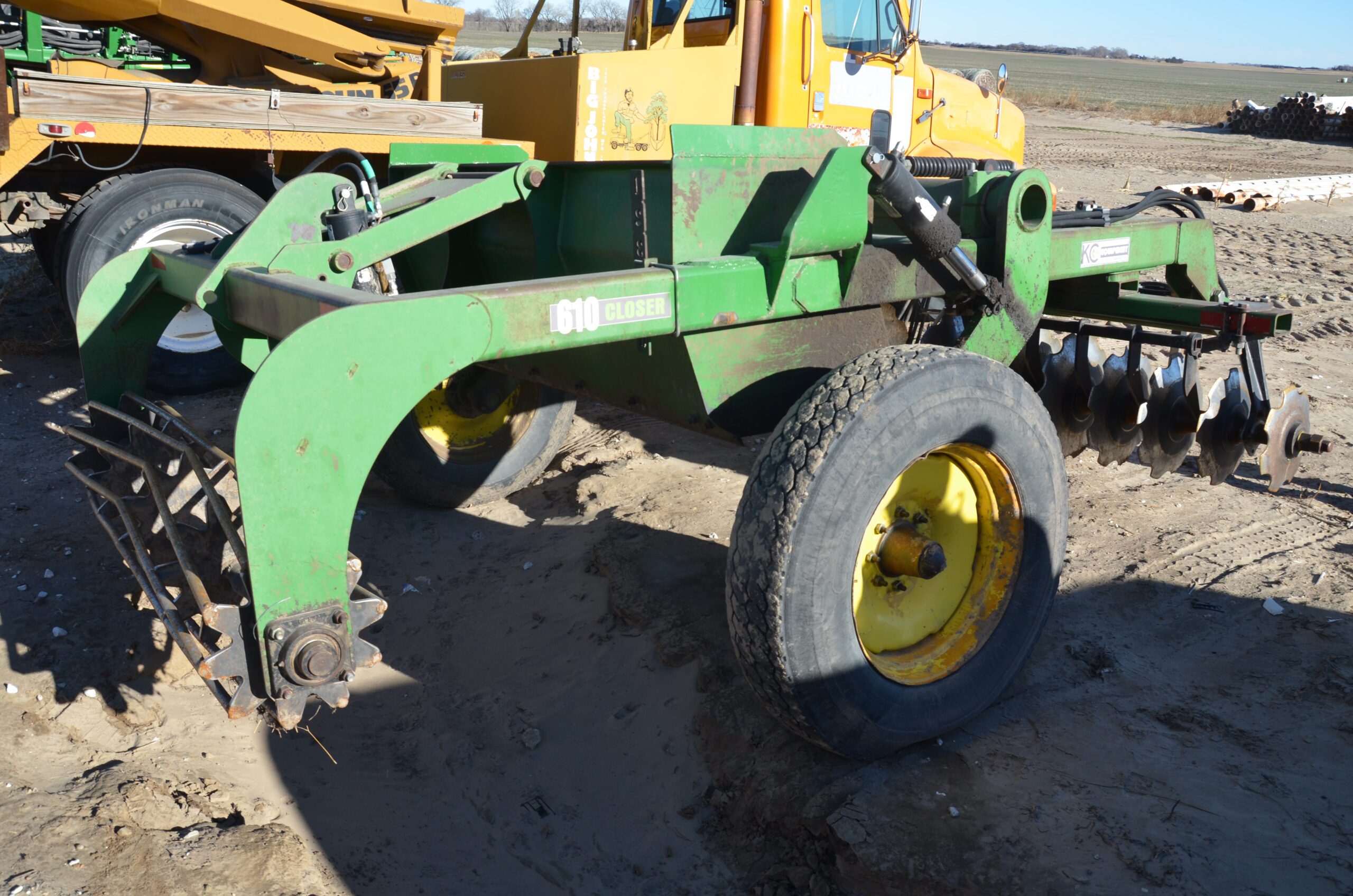
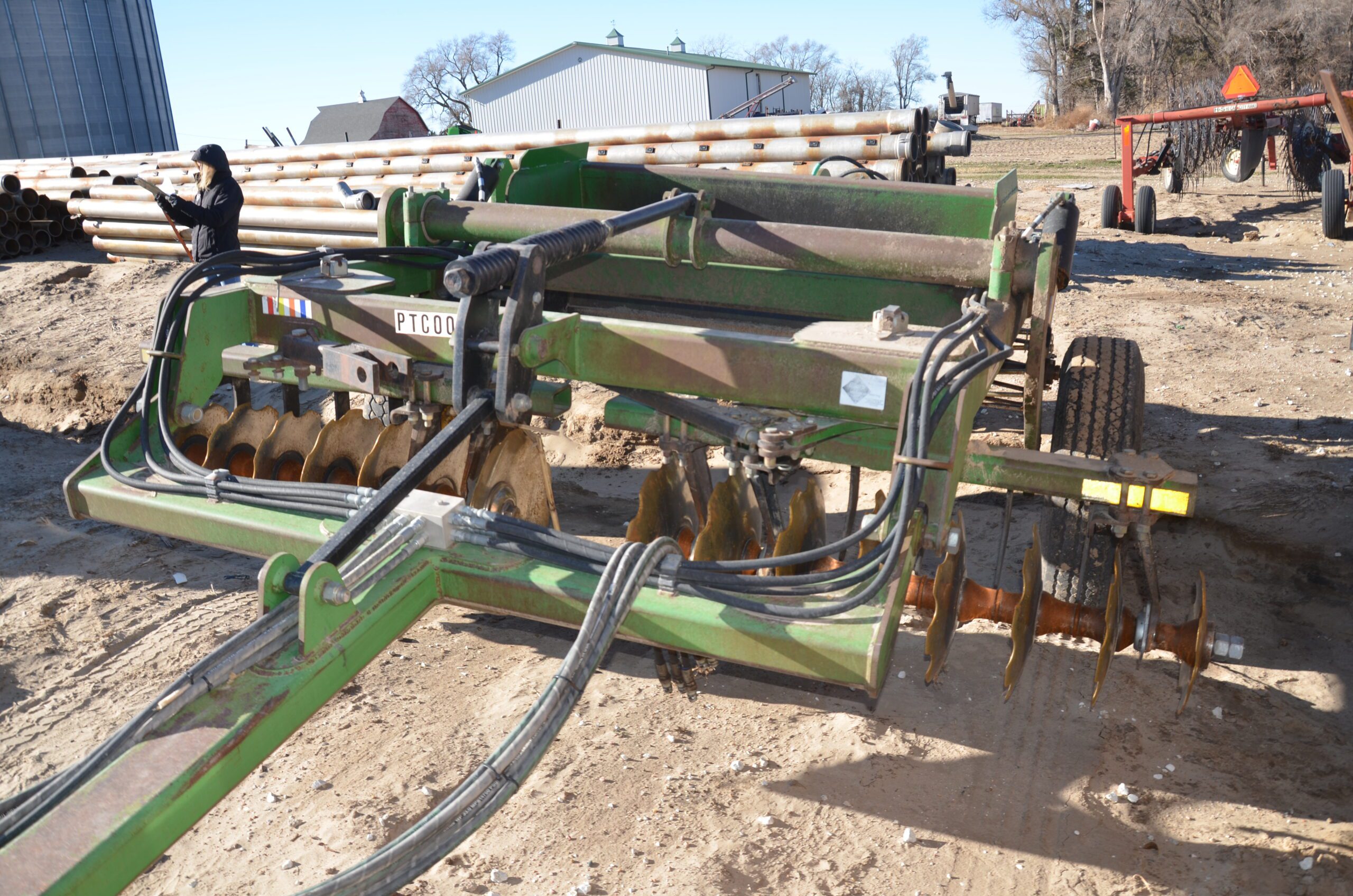
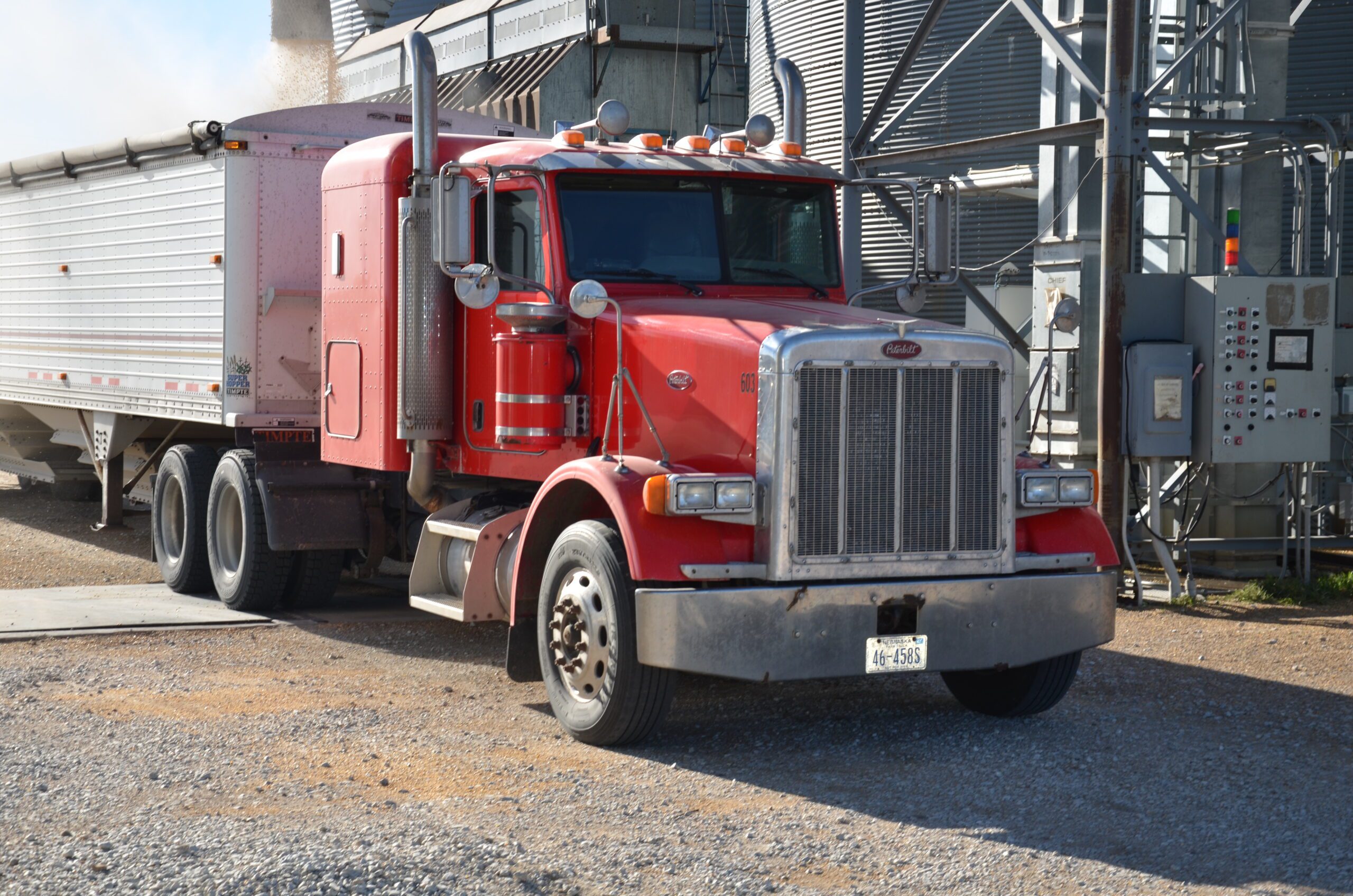
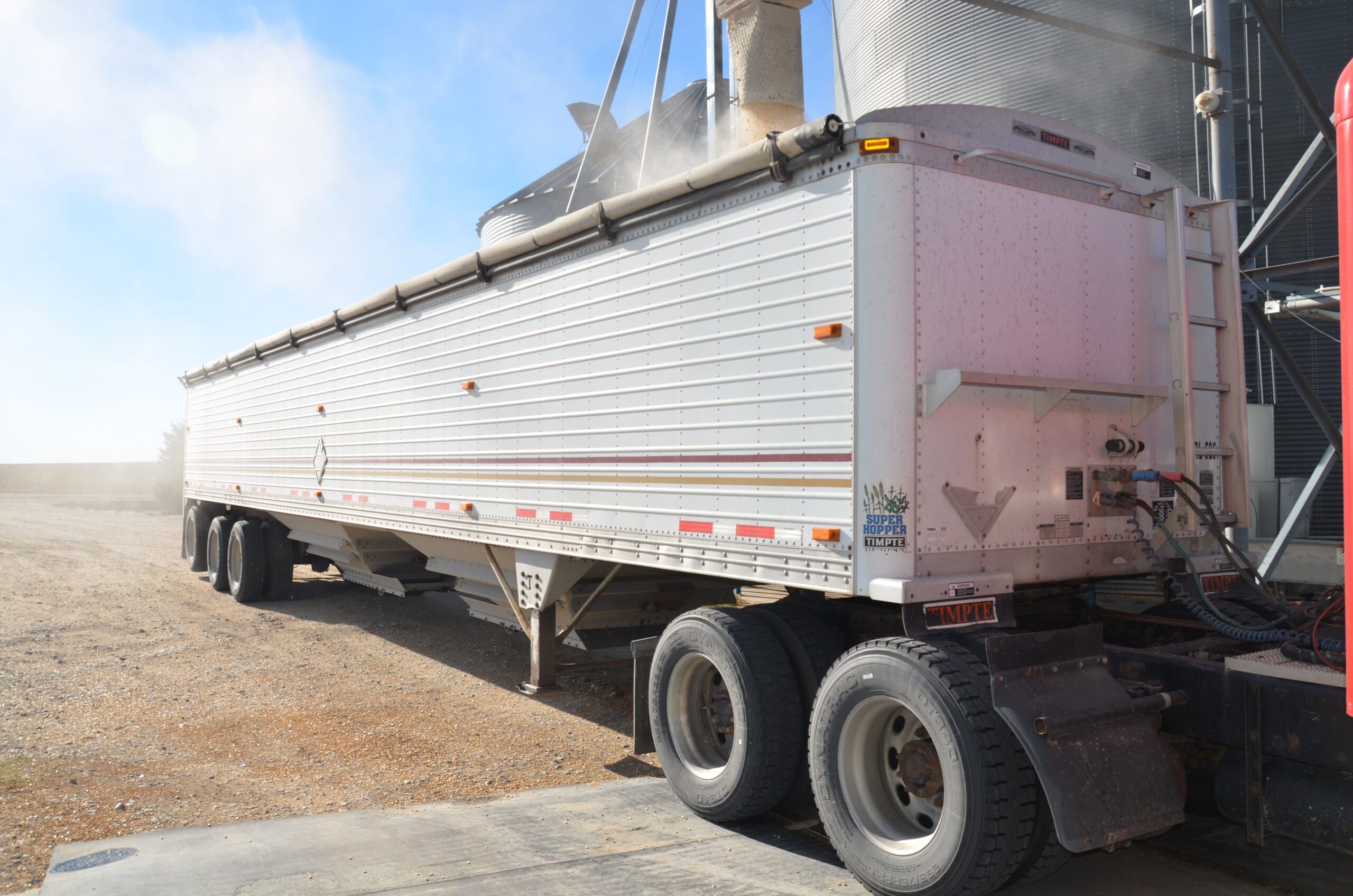
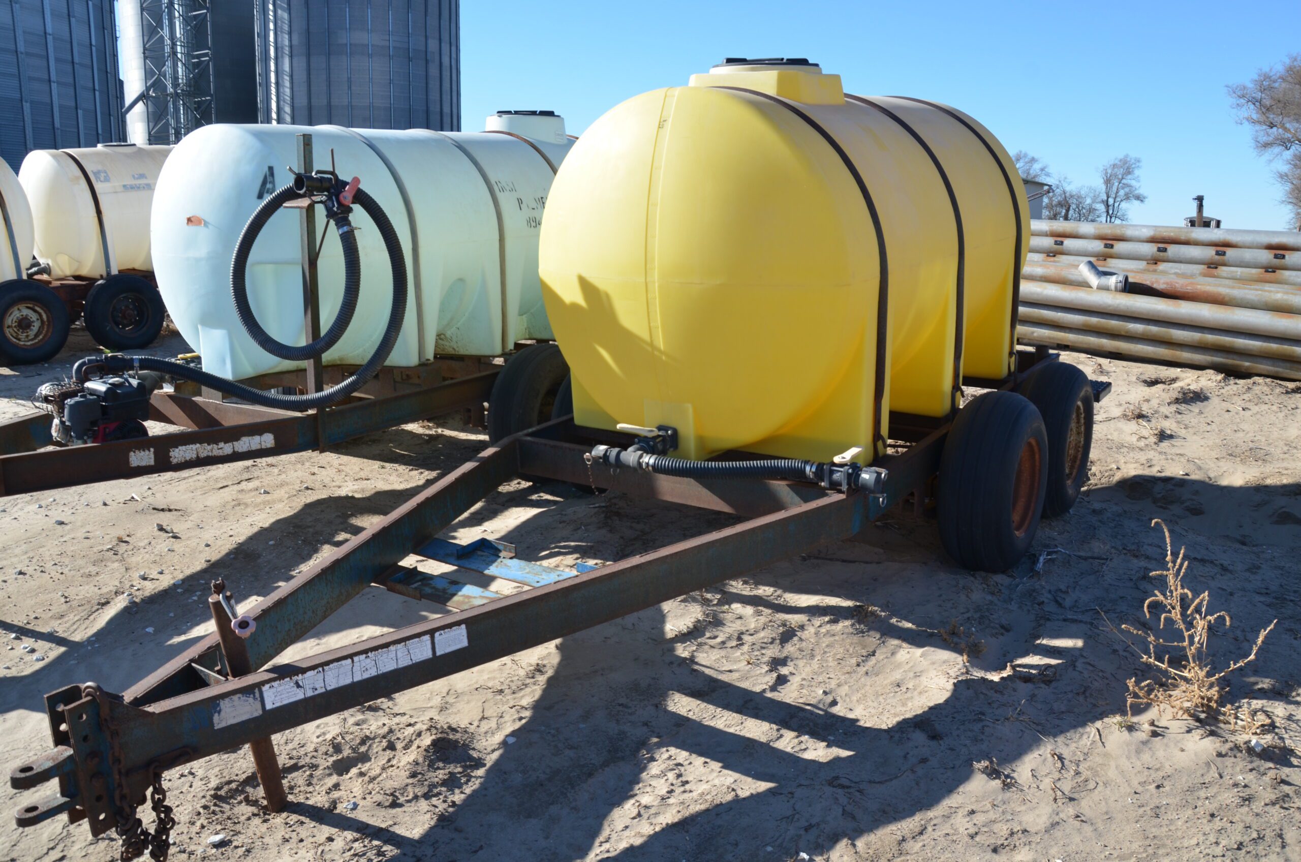
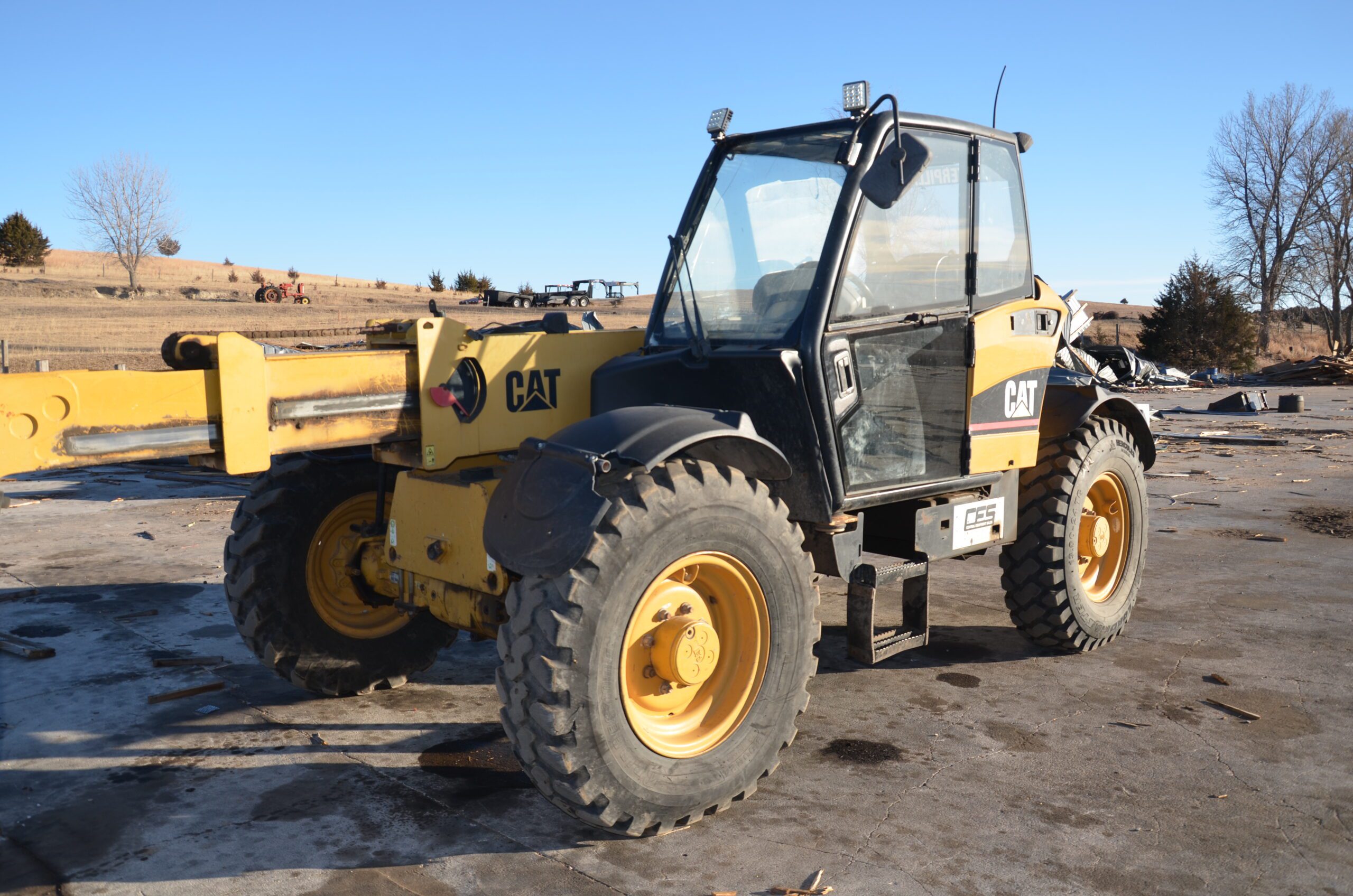
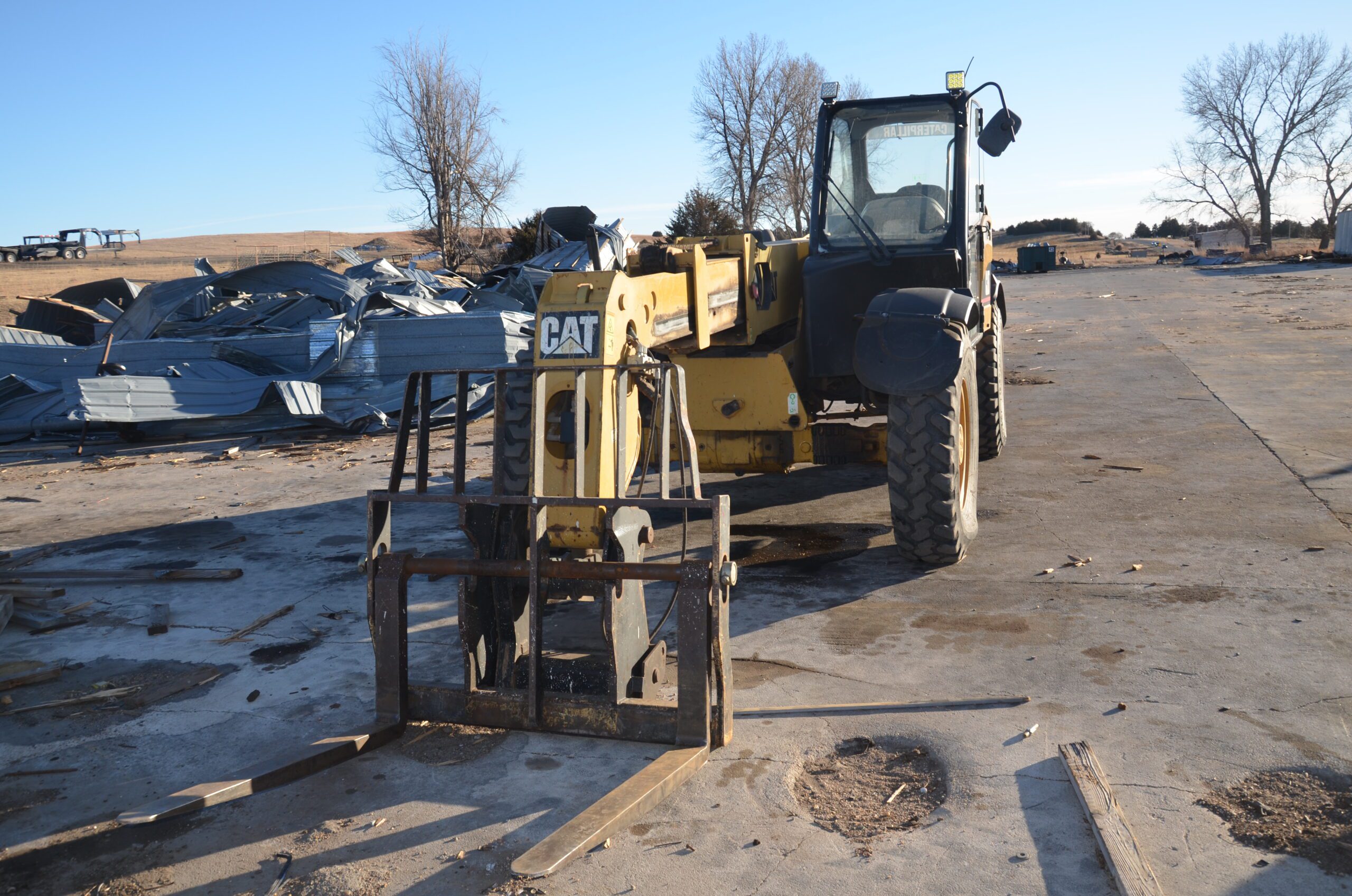
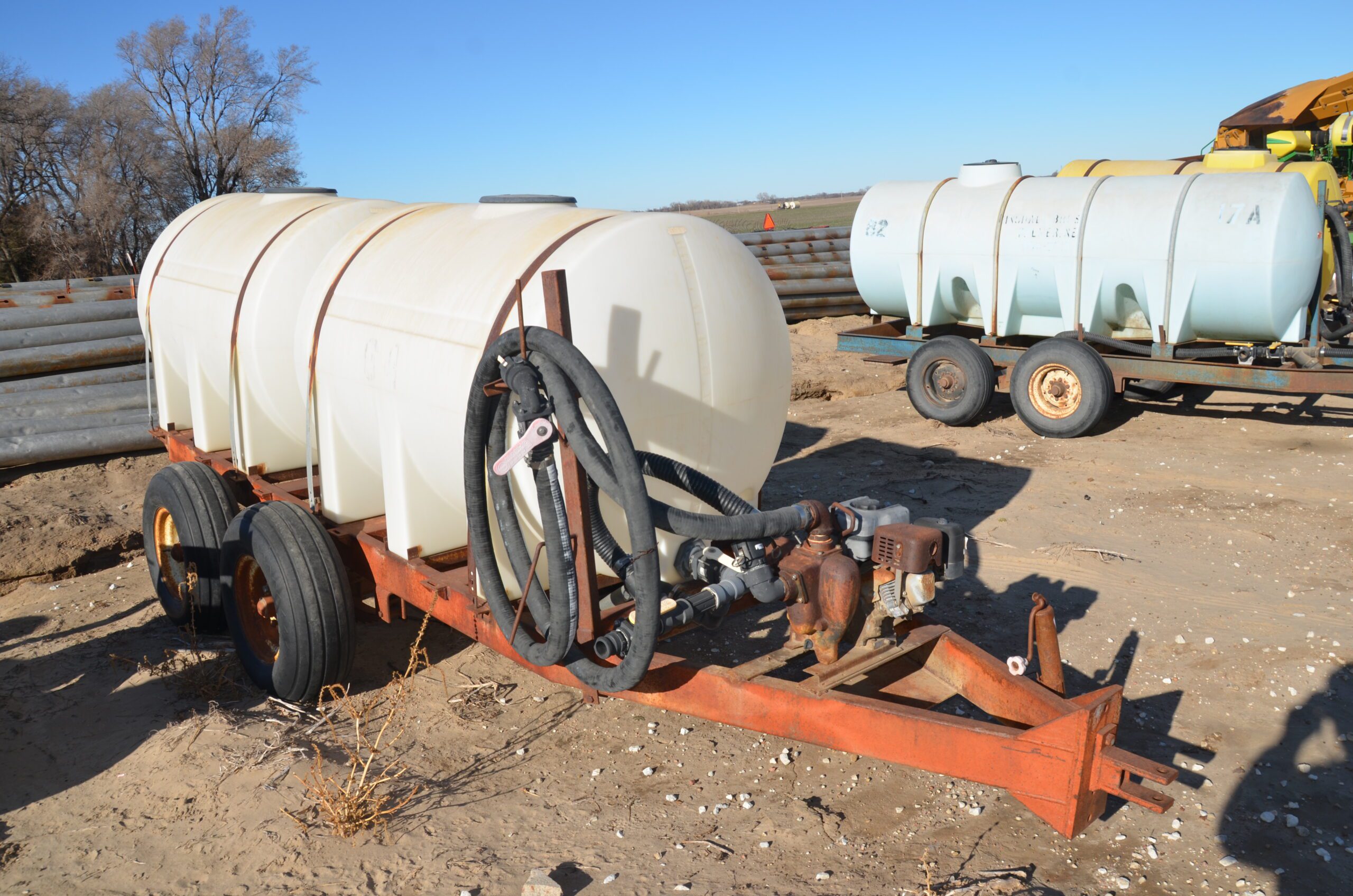
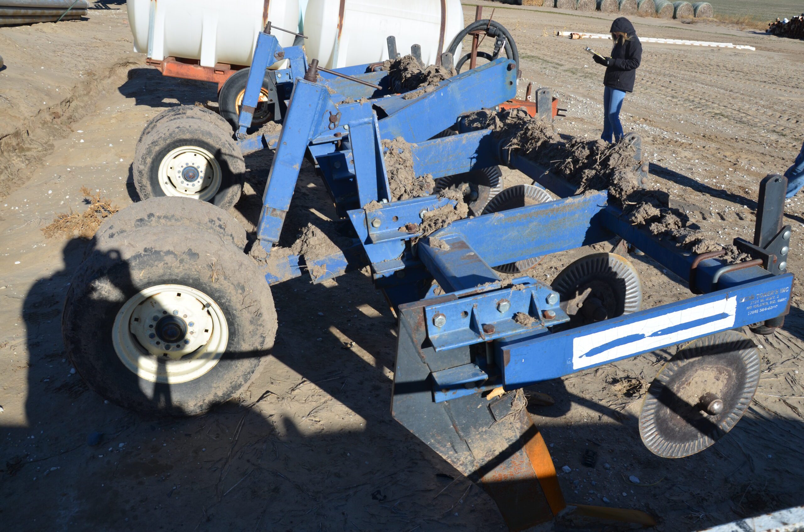
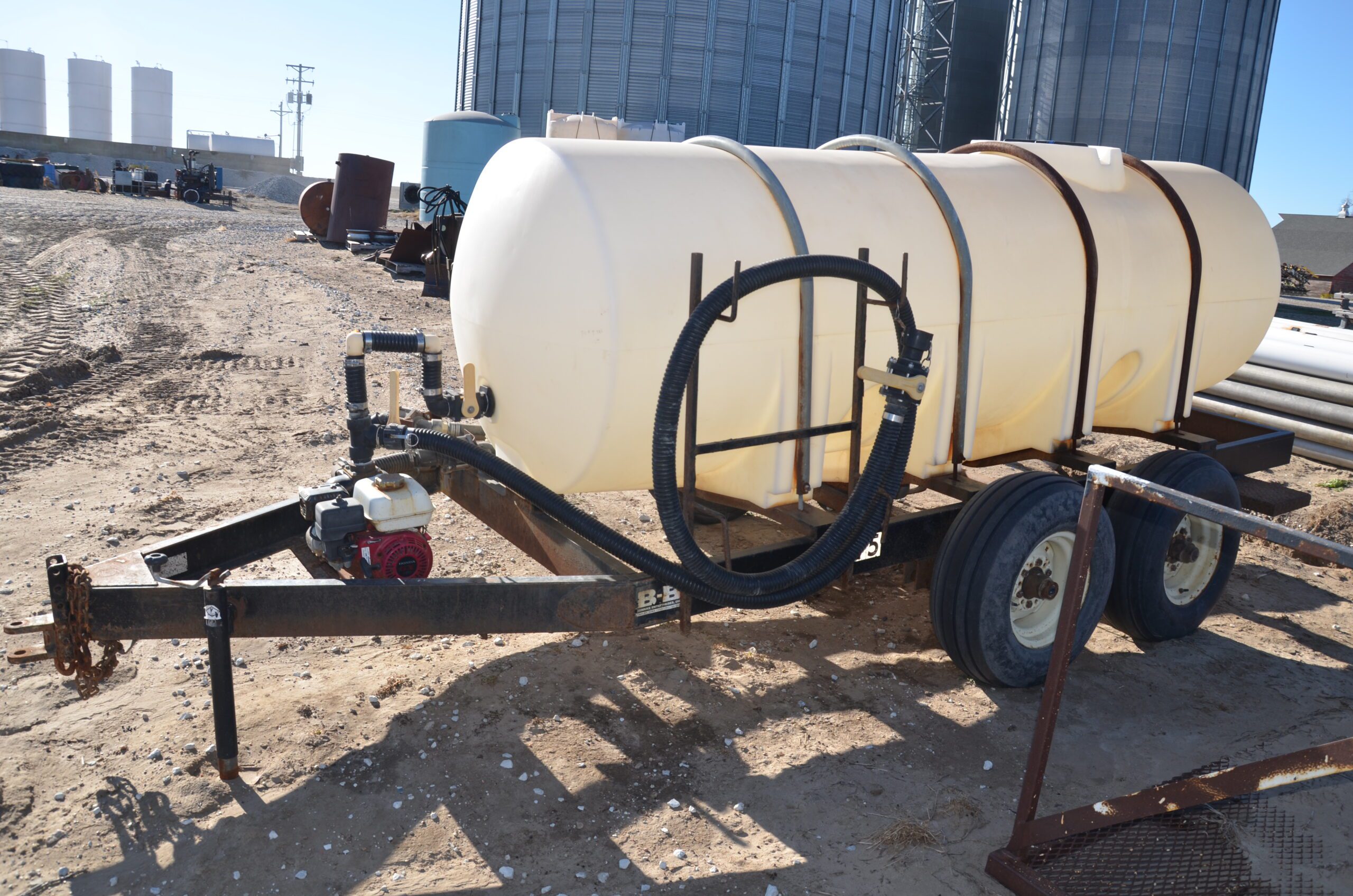
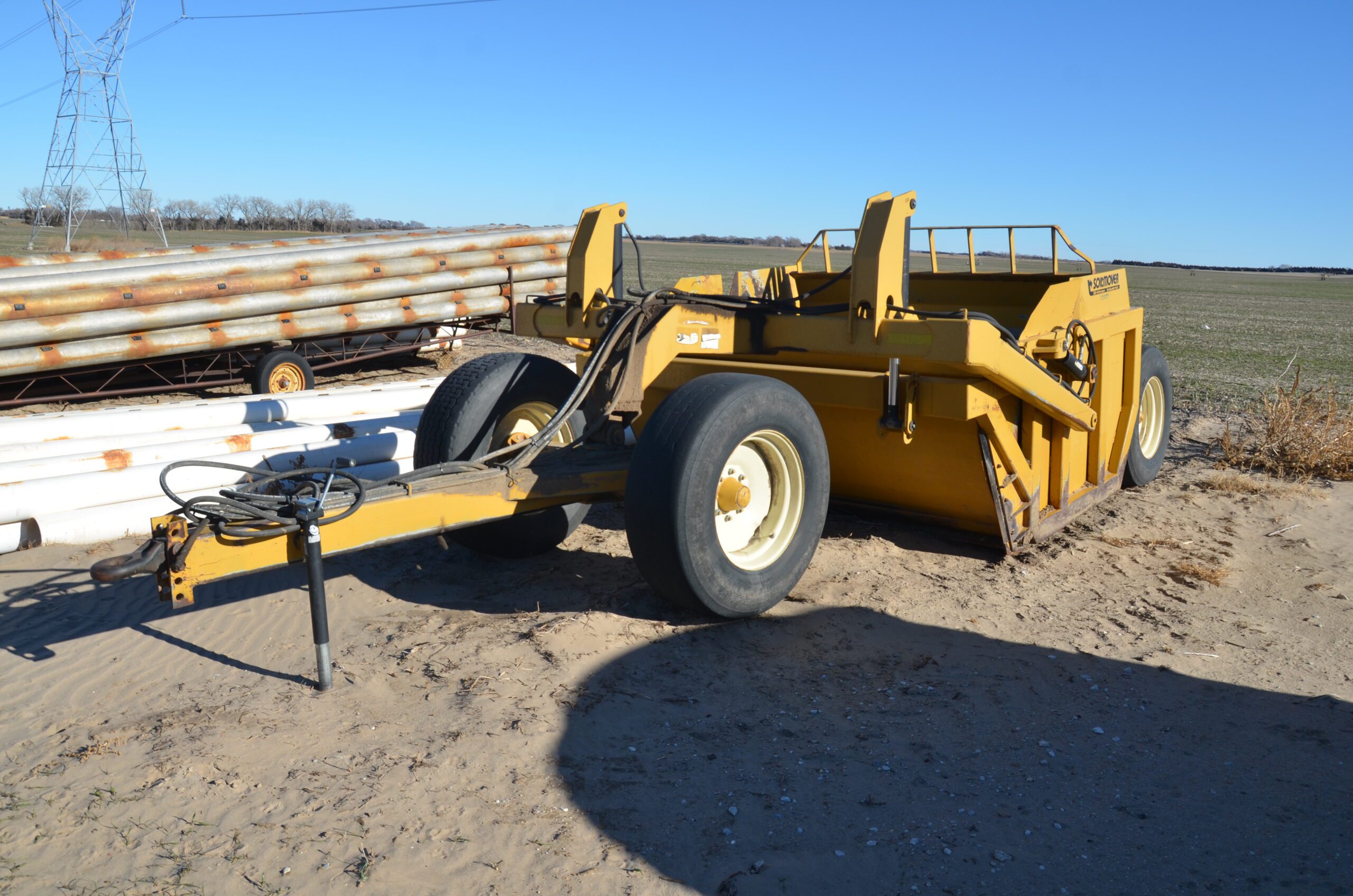
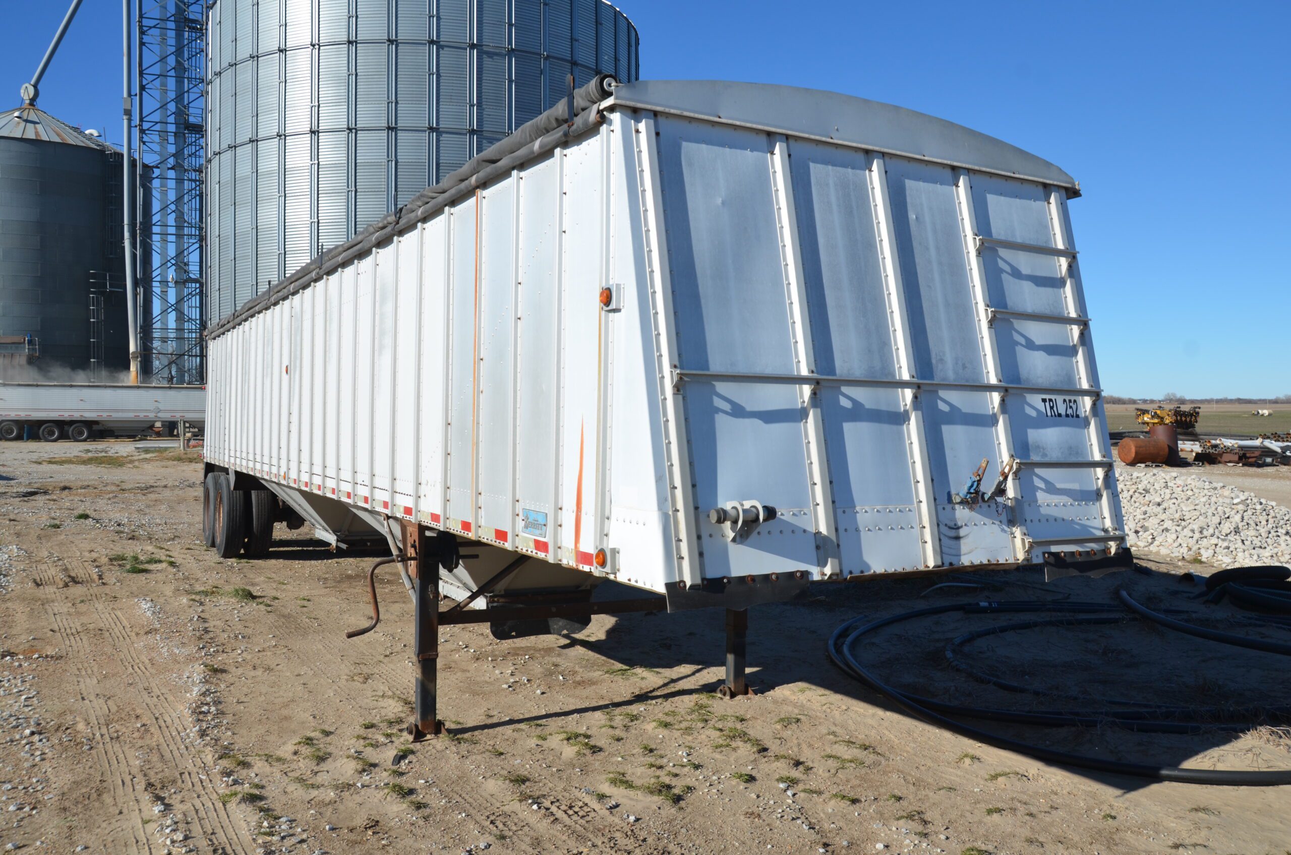
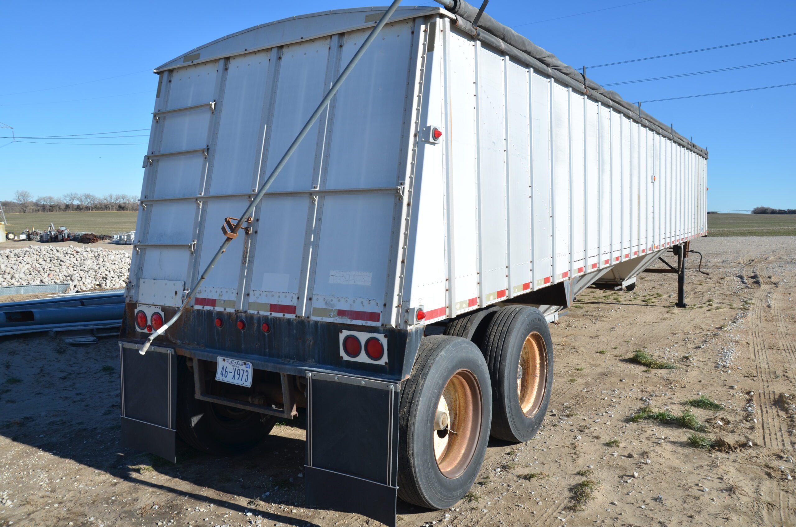
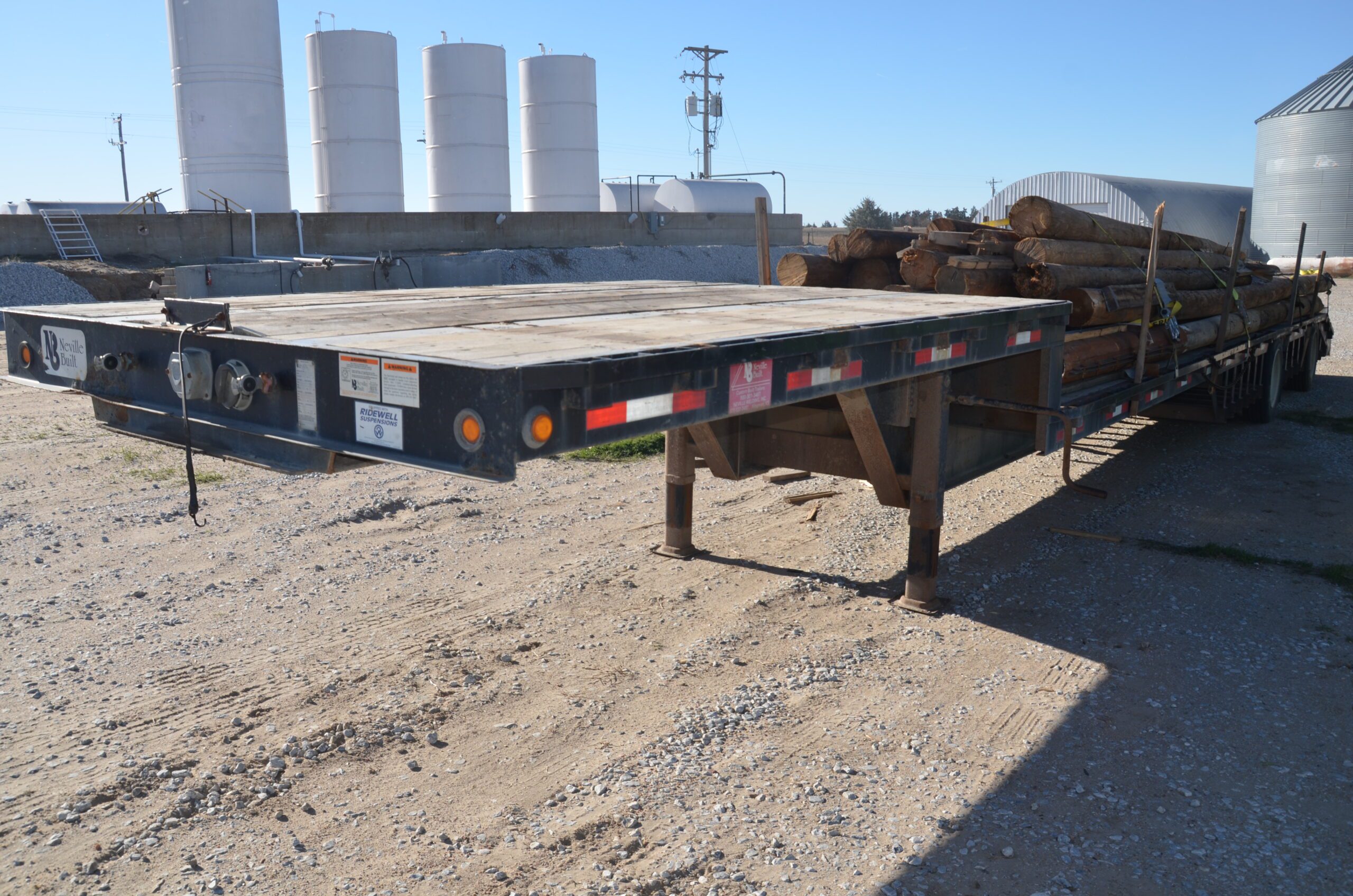
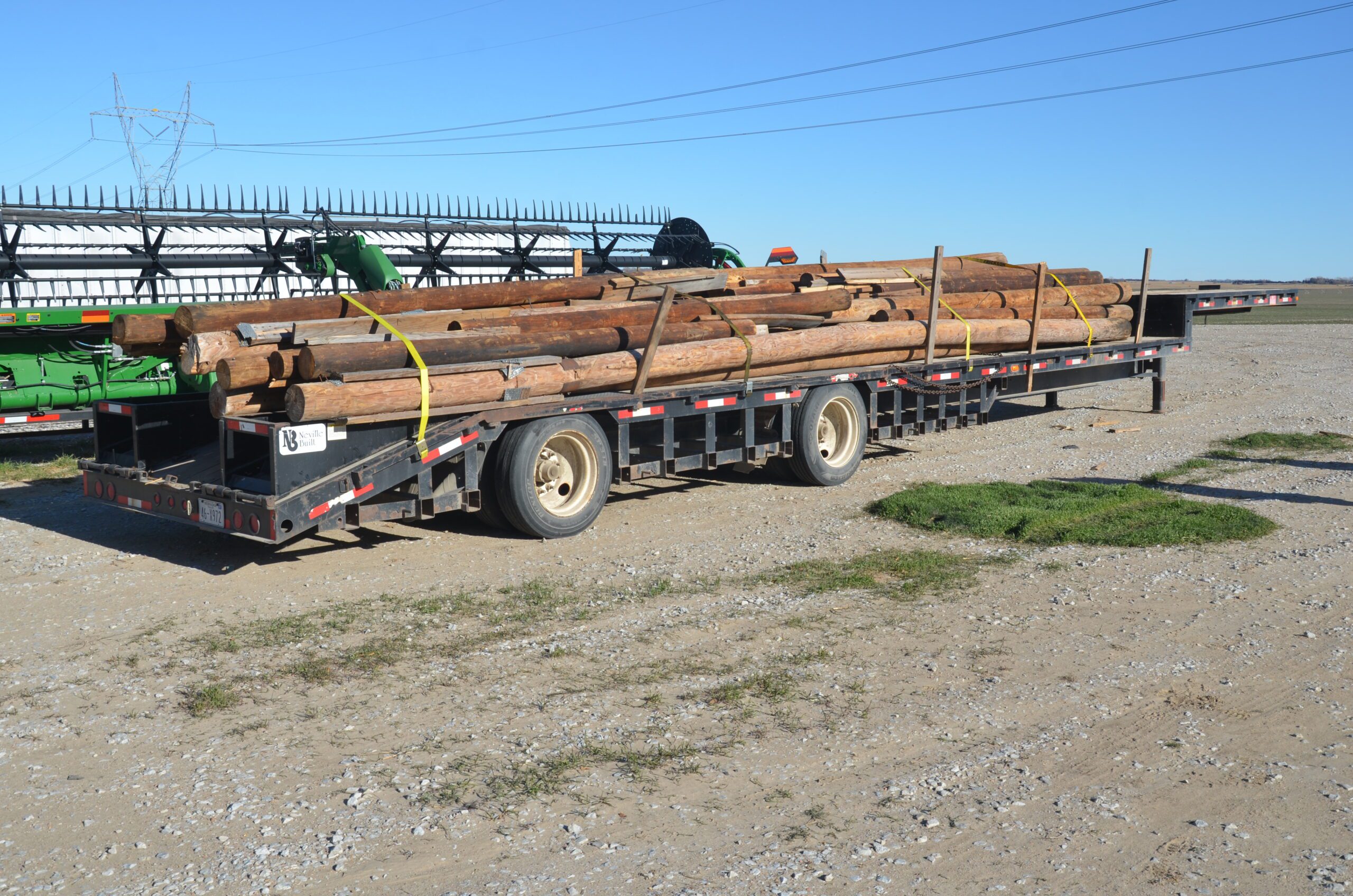
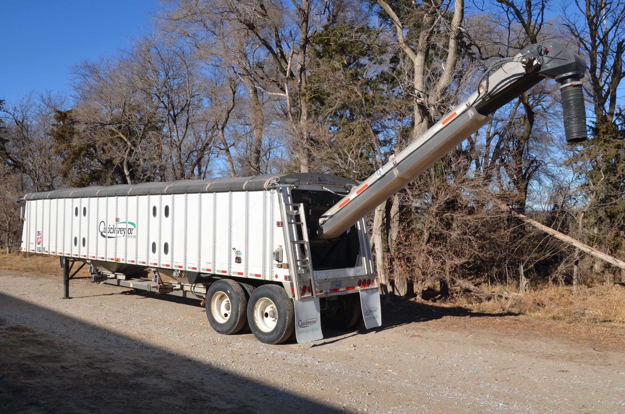
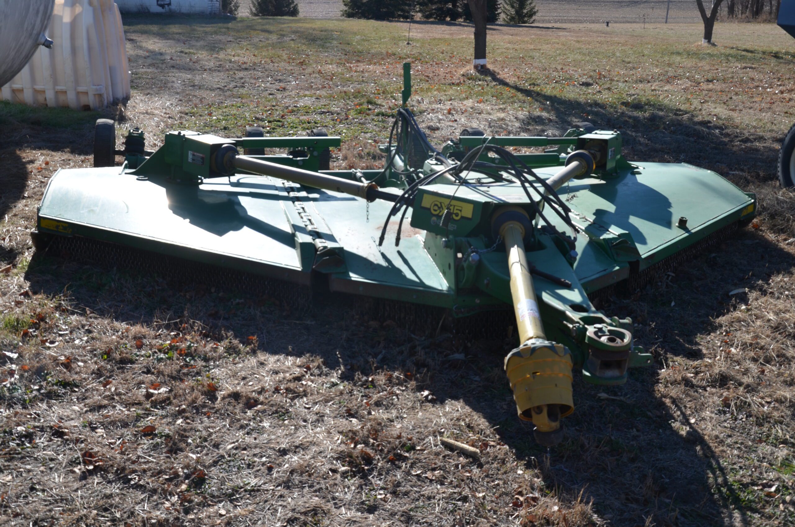
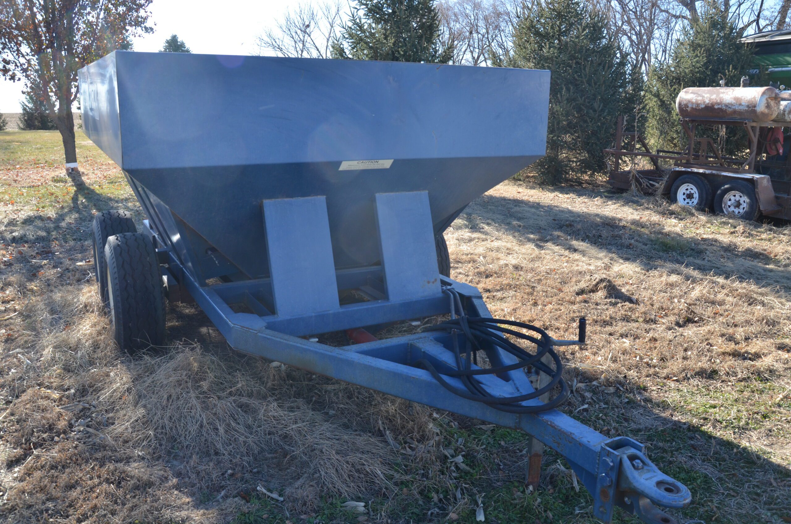
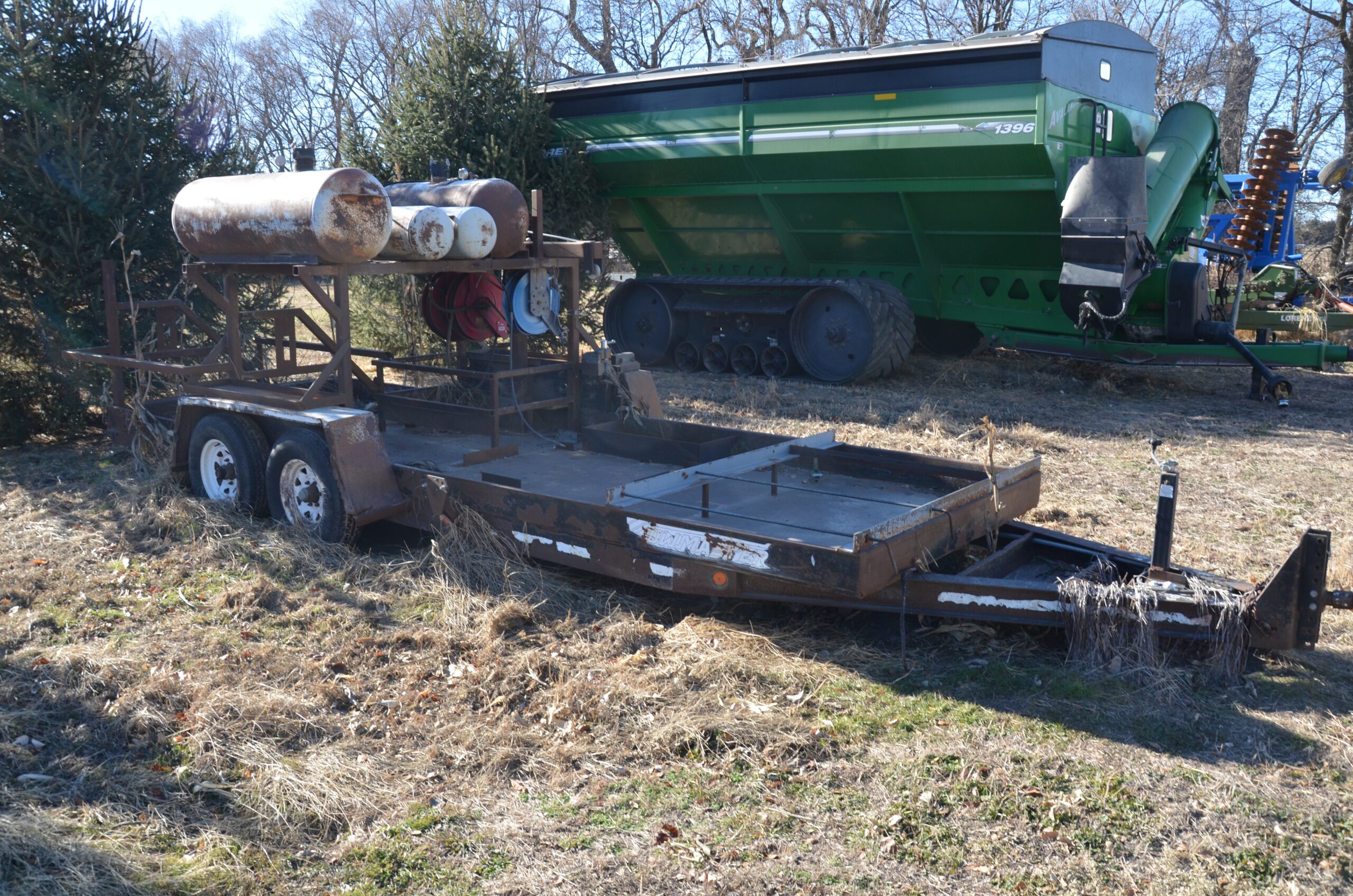
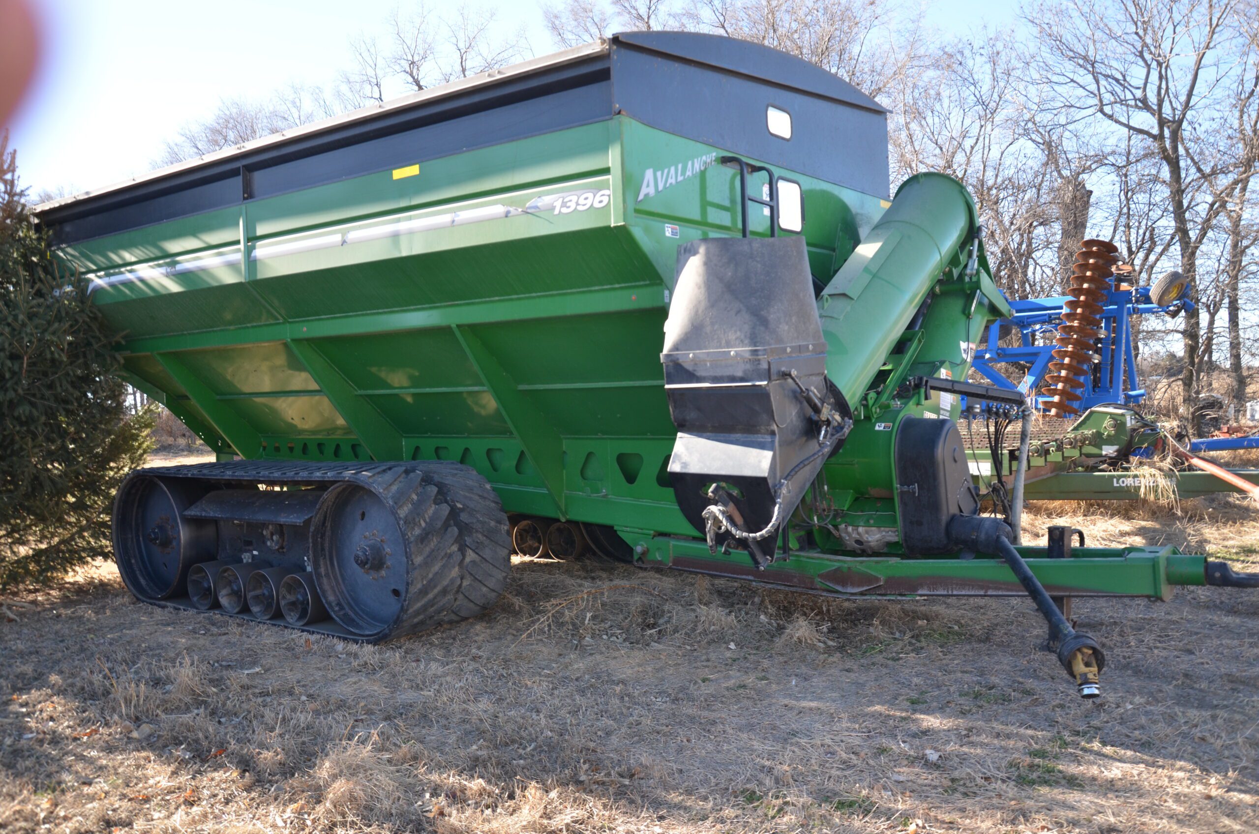
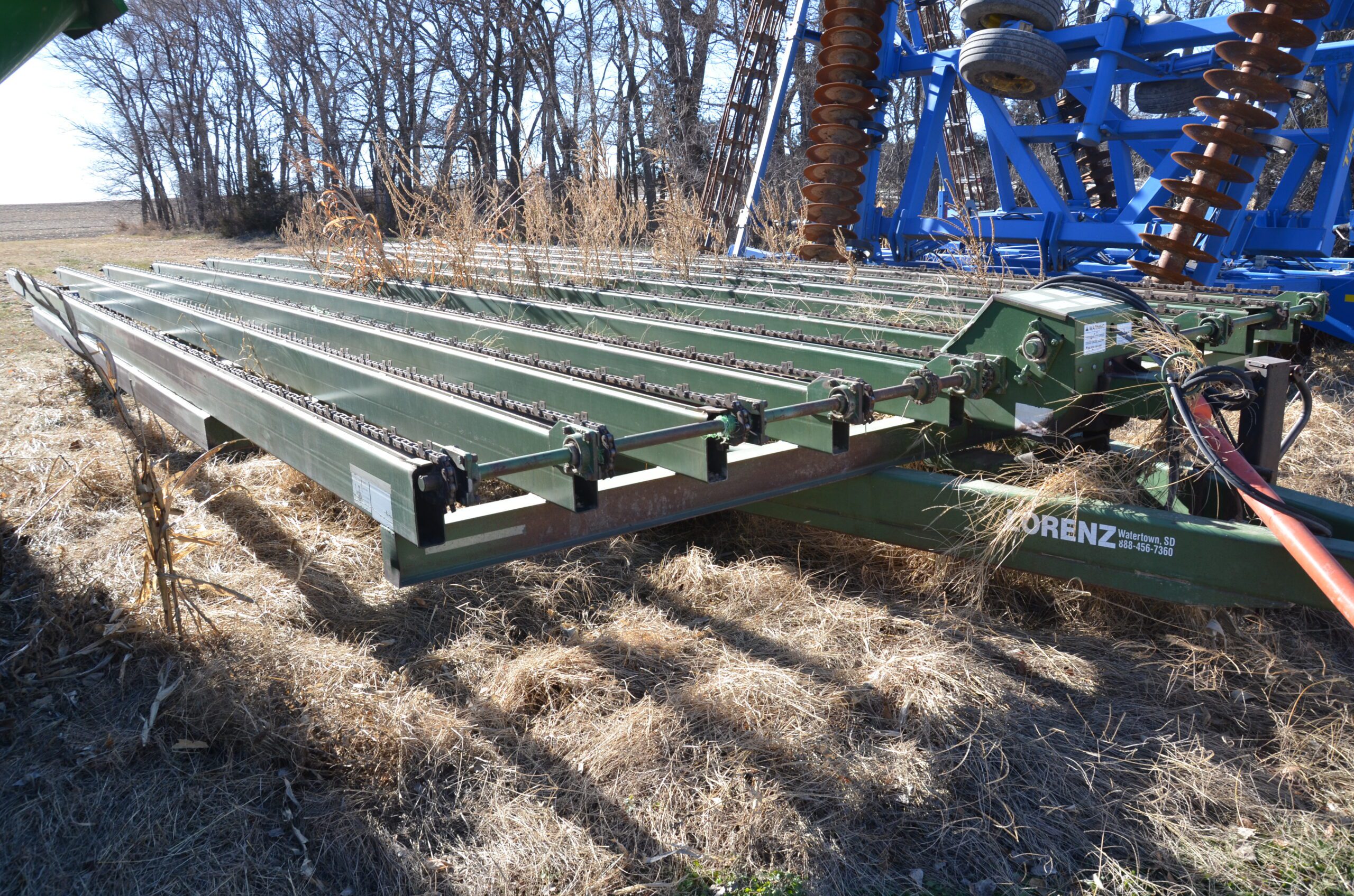
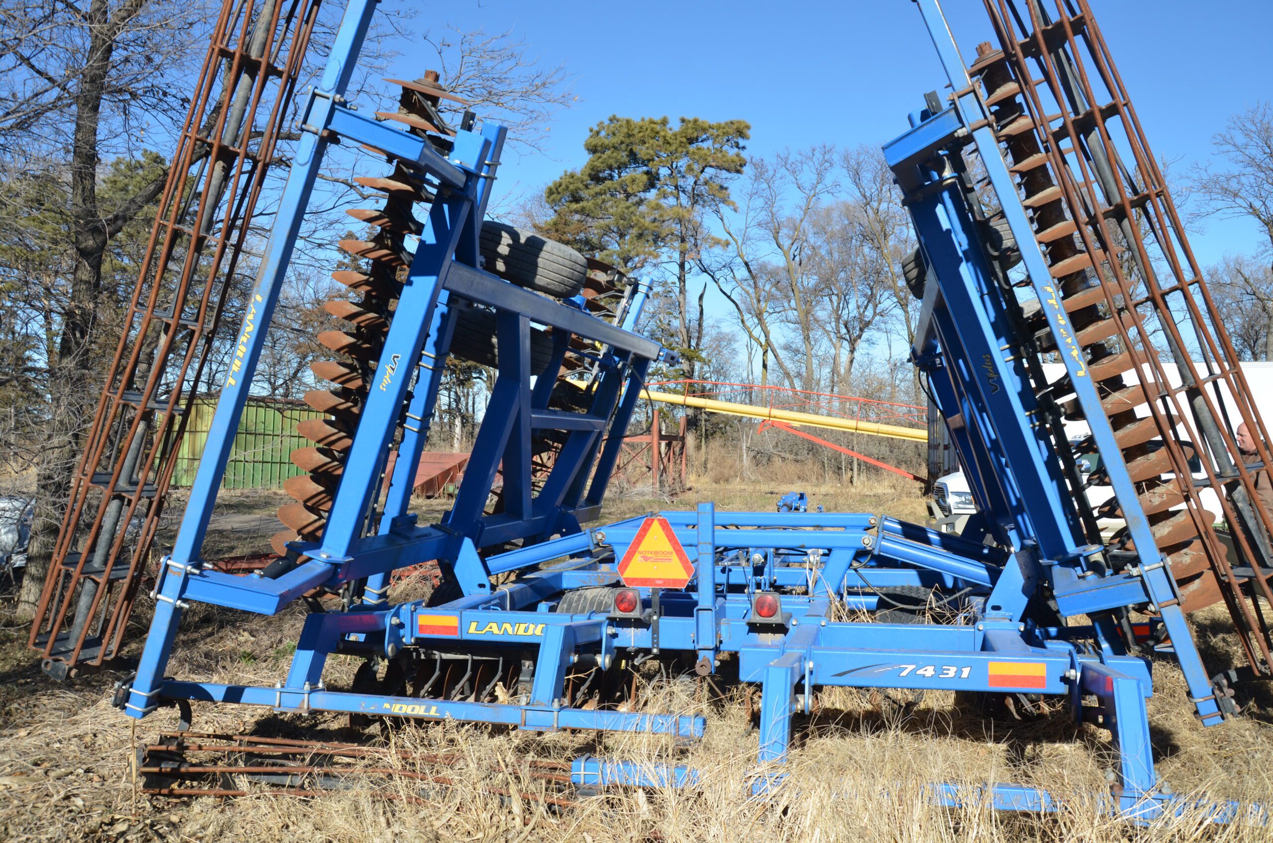
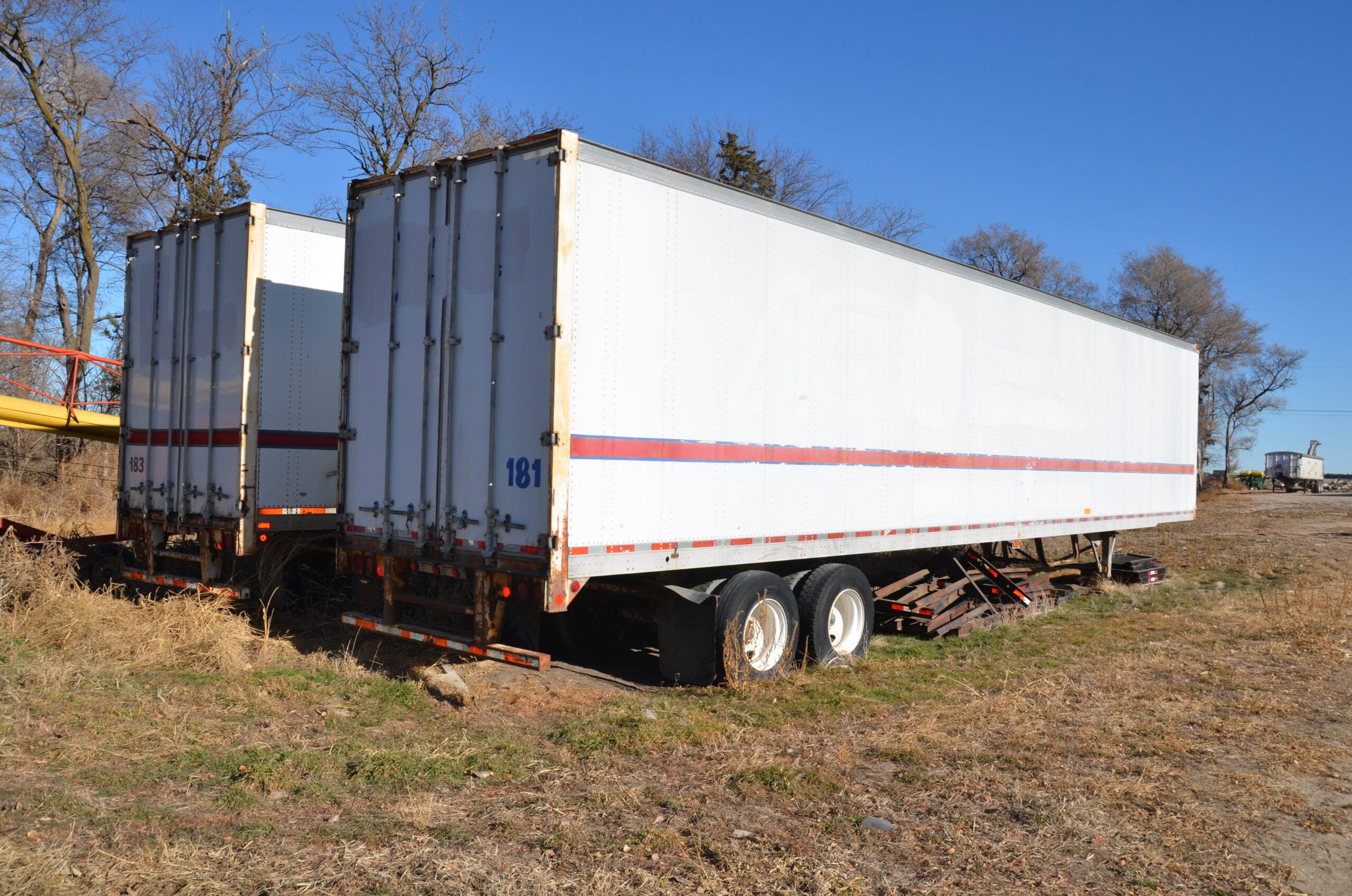
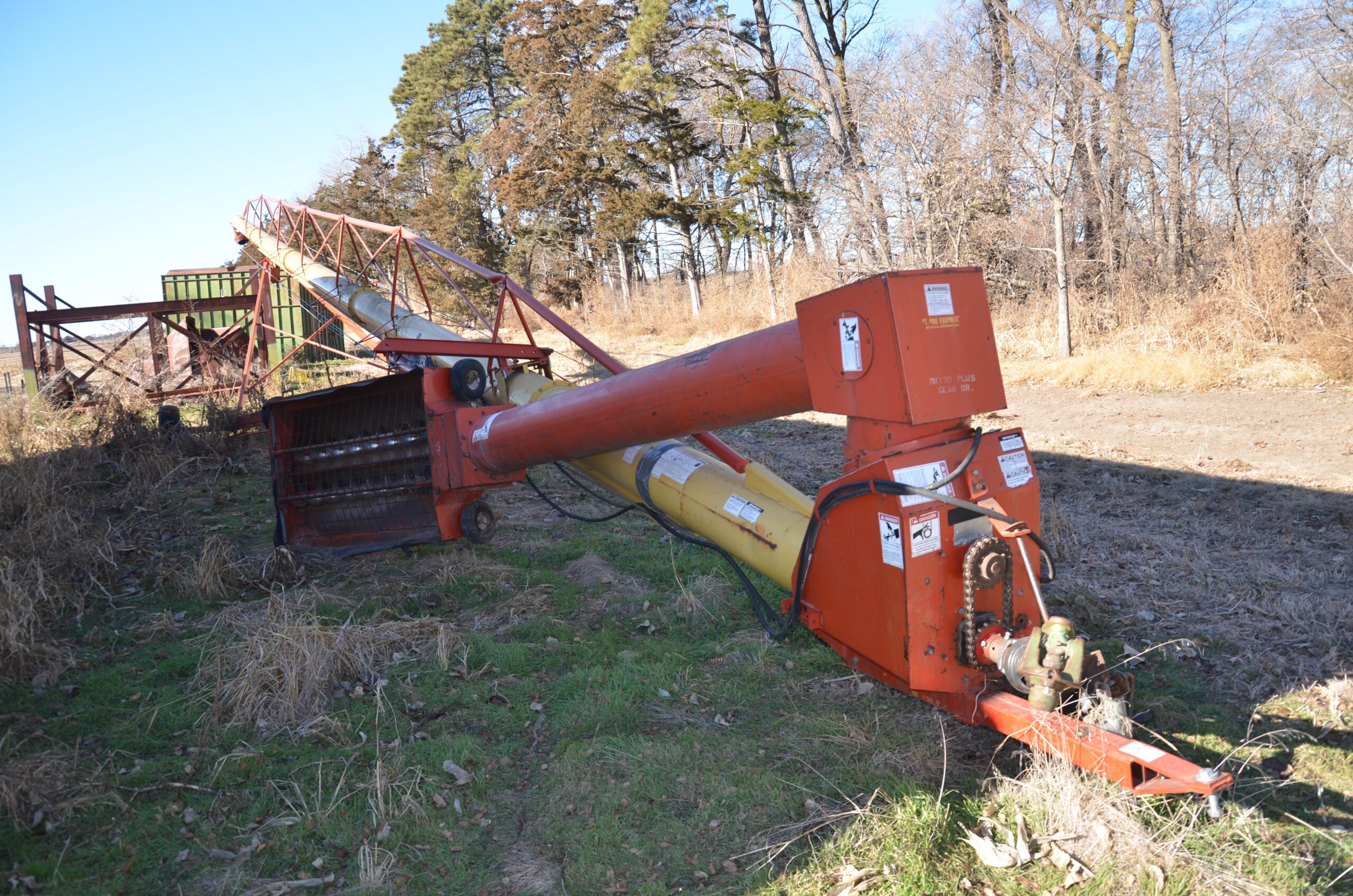
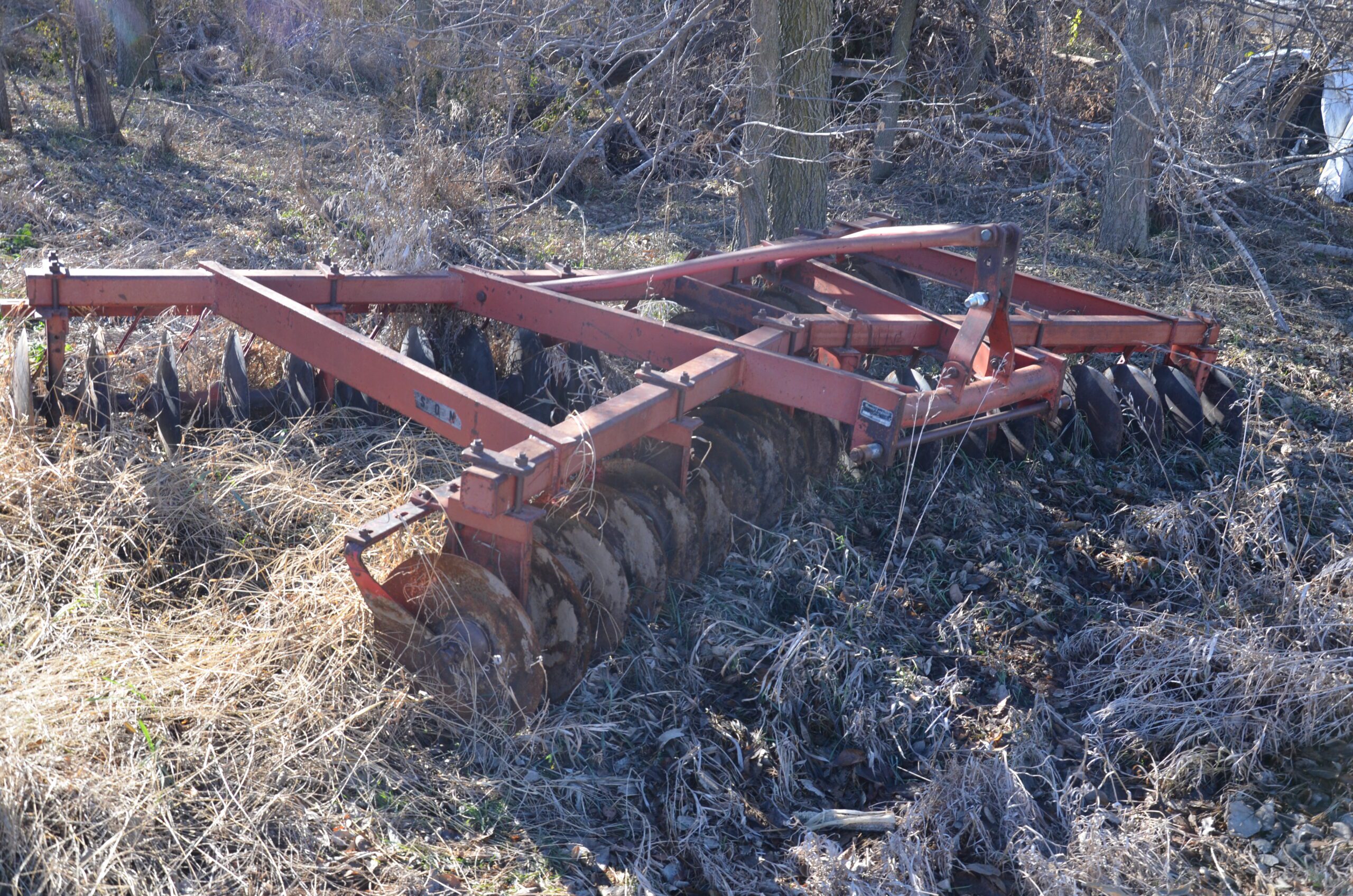
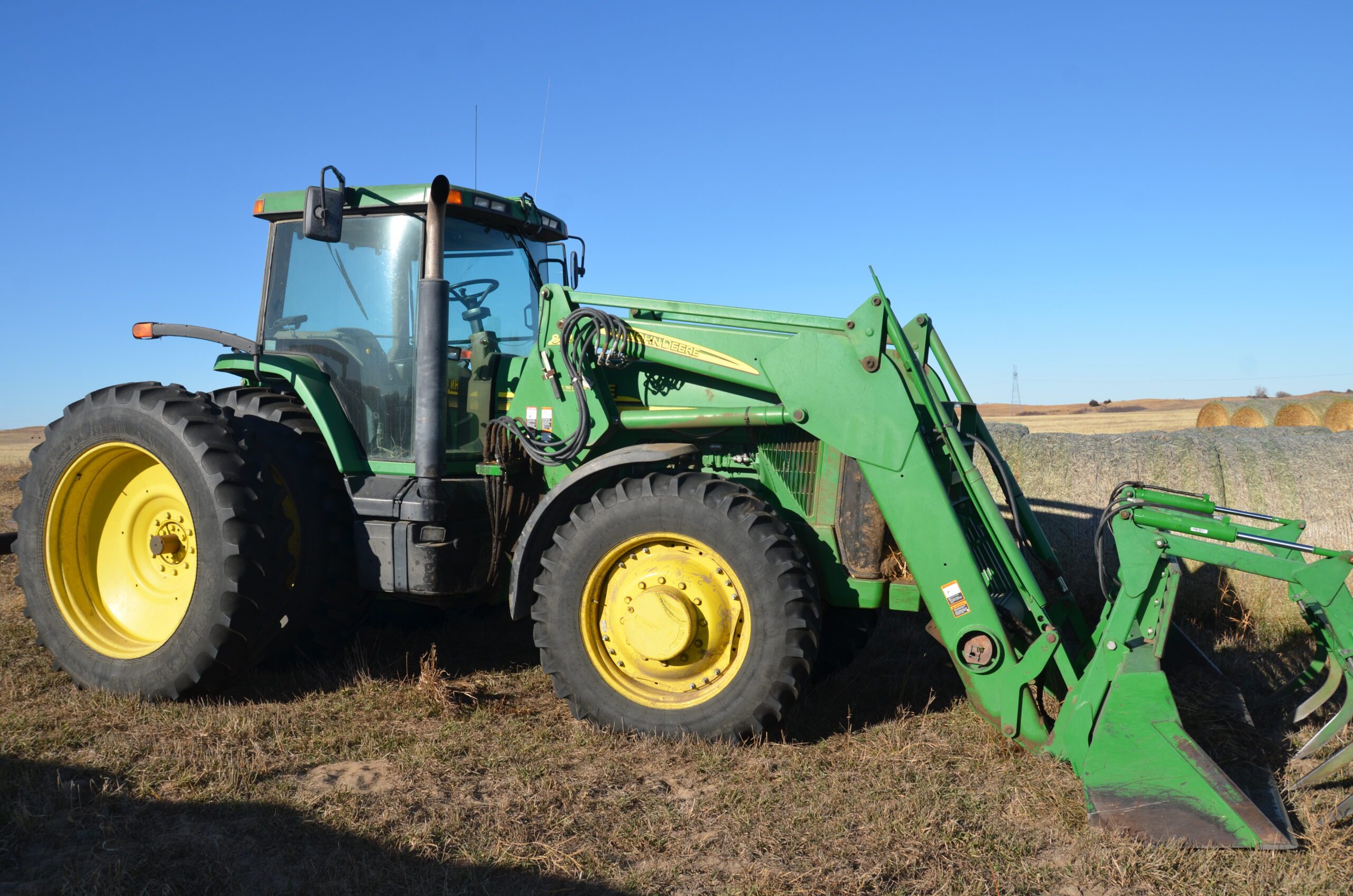
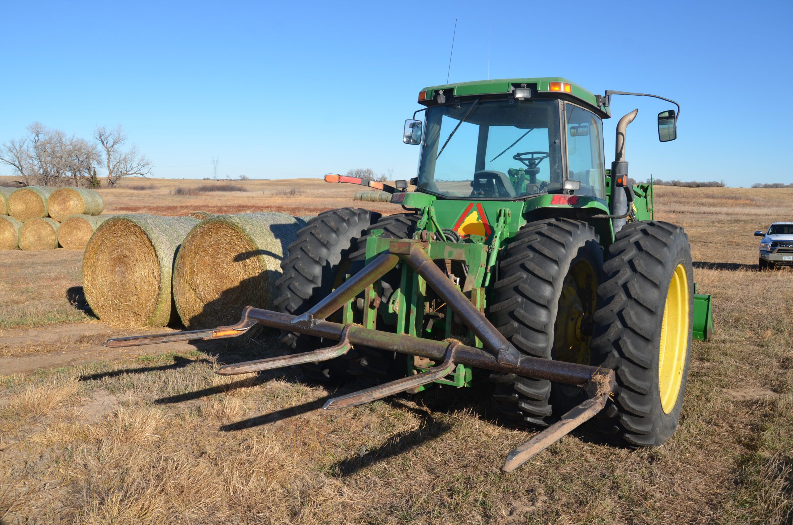
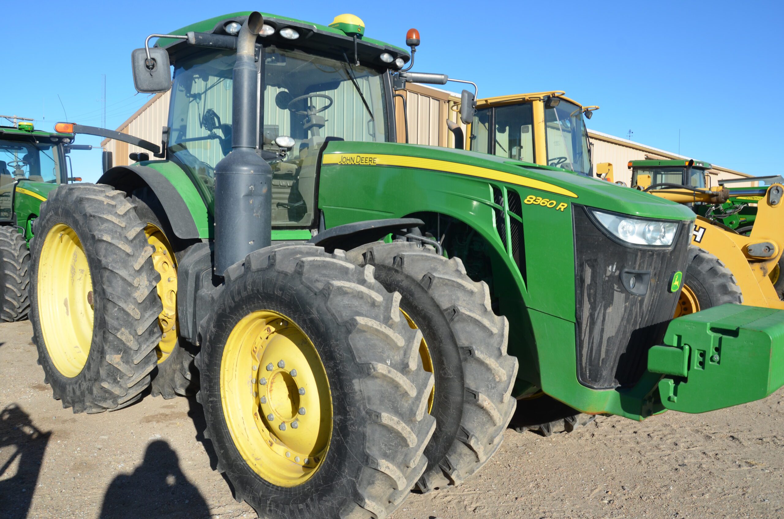
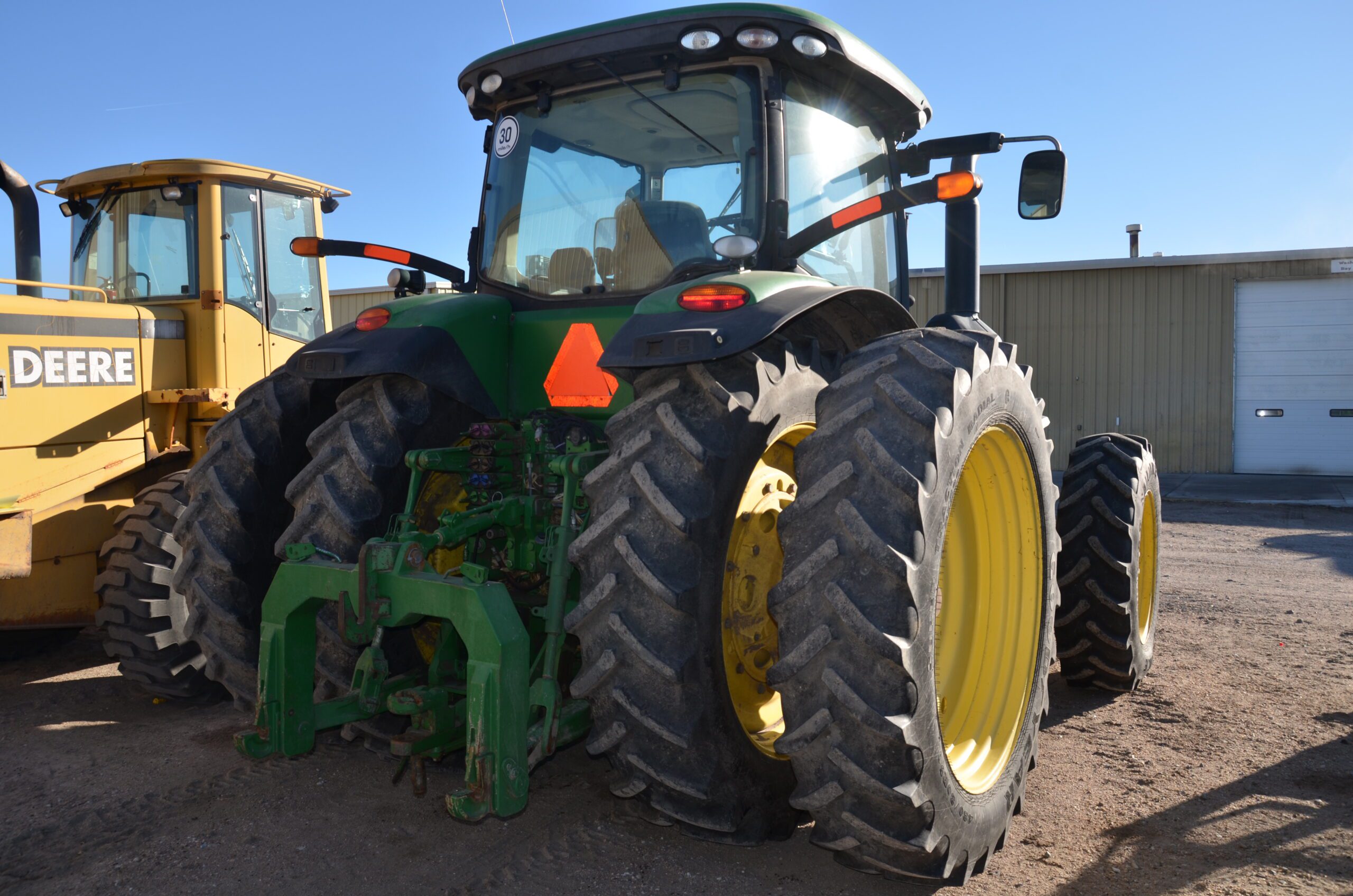
Farm Machinery & Equipment Subject To Bankruptcy and Foreclosure Sale At 9:15a.m.. Subject to announcements equipment sale may follow at 10:30a.m.: JD 825i Gator power steering 1354 hrs 12600 miles. NH L180 skid loader, dirt bucket, a/c, 3240 hrs, 3rd function electric detach, #N8M489461.48” Pallet forks for NH skid loader. 2000 ga. fuel tank w/ electric gpi pump. 16R30 Hiller fertilizer applicator JD rate control 6000-3088-101. Headhunter Scout 42’ head trailer. Shop built 1000 ga fuel tank on gooseneck trailer, fill rite 15gpm pump. Saddle tanks w/ 125 gallon on top 500 ga on bottom tank toppers 8000 series off 8370 fits ivt. 4-3,000 fertilizer tanks had Round-up in them w/ pumps. RayMan SS429G auger #1707945 conveyor auto lock hubs. Soil Warrior 16rn environmental tillage system. Orthman 16rn row stalker. JD Hwy Equip Co DN345 L3220G4-16 131804 dry fert spreader w/ draw bar, cameras. 6x10 trailer 2 axles. 5x8 trailer 2 axles. 24’ bumper hitch 4 axle black trailer 8 bolt hubs. H&S hi capacity BF1460 14 wheel bi fold rake 800321. KC Equipment 610 pivot trac closer. 4- Fertilizer tanks on trailers. 2-1000 ga poly tanks on wheels. 1000 gallon -Dual tank on wheels. BluJet 7 shank sub soiler 2. 4’ man basket. Mauer 42’ head trailer M42HD elec brakes. JD CX15 big shaft chain guard. 2015 Brent Avalanche 1396 grain cart needs flighting 2630 monitor scale. 2011 Landoll 7431-33 model 34’ disk #74B1101217. JD R450 swather w/ JD 995 16’ head 1794 engine hrs, 1210 head hrs 480/80R38 tires recent knives & turtles #1E0R450XTBB370962. JD CCS 40’ seed metering drill 7 ½ spacing, under 10,000 acres. JD 1725 planter ExactEmerge 2 fert pumps 2 piston pumps new pneumatic row cleaners in furrow fert, 22,000 acres. 2013 JD 8360R 2 weak cylinders needs oh 8564 hrs #1RW8360RHDD075628. JD 1795 32 row planter 15” starter fert tank, down pressure, JD no till culters. 1988 Merritt TRL 252 42’ grain trailer 42-1143-003 low hoppers. 2015 Neville sprayer trailer 53’ step deck outriggers. 2016 Merritt Quickveyor grain trailer 38’ electric tarp 960 bu. 2006 Peterbuilt red C13 CAT 10sp trans 435hp. 2005 Peterbuilt 378L. 2006 Peterbuilt 378L. 2011 Timpte grain trailer Superhopper. Trailmobile 48’ trailer 1PTG1JAH3R9008821. Trailmobile 48’ trailer 1PTG1JAH7R9008790. 2001 JD 8310R MFWD 843 loader & grapple 5 outlets #1RW8310RCDP075849. 1200 gal fert tank on wheel spring suspension. Scraper soil mover no tag FE8120 forced ejection. JD 7810 new motor in 2023 deluxe cab ps 3scv work station cab console 9985 hrs 18.4R42 tires, rear weights #RWSG060054442. Pivot track closer OTECO ballast box. Old trailer w/ old tanks pivot repair trailer. Lorenz 15x35 hay mover. Westfield 91x13 auger. Cat Telehandler 340B, TH35B #CATH350PS1D81547 CAT grapple head for telehandler. Welders. Air compressors.
Personal Property Terms: Cash or good check day of auction. Photo ID required when registering for a bidder number. Loader tractor on grounds day of auction only. Everything sold “AS IS WHERE IS WITH ALL FAULTS”.
Agency Clause: Wolf, Inc. Auction & Real Estate is acting as agent of the seller, with duty to represent seller’s interest, and will not be an agent of the buyer.
Announcements: Property information provided was obtained from sources deemed reliable, but the auctioneer makes no guarantees as to its accuracy. To be bought in an as-is condition. All prospective bidders are urged to fully inspect the property, its condition and to rely on their own conclusions. All announcements made day of the auction will take precedence over any previously printed material or oral statements. No warranties of any kind are made except those stated in writing in the purchase agreements and deeds. Bidding increments are at the discretion of the auctioneer. No absentee or telephone bids will be accepted by the auctioneer without prior approval. Owner and auctioneer not responsible for accidents.
Sale Terms: Certain Deeds of Trust/Trust Deeds originated in favor of AgQuest Financial Services, Inc. as Beneficiary, and are now owned and held by Trotter, Inc. a/k/a Trotter, Incorporated, and James A. Trotter, Trustee of the James A. Trotter Living Revocable Trust (herein “Trotter”) as Successor Beneficiary. The Trustee of the Trust Deeds, with the Auctioneer, will conduct the auction per the Nebraska Trust Deeds Act, Neb. Rev. Stat. § 76-1001 et seq.; § 1206 and § 1225(b)(8) of the U. S. Bankruptcy Code; Article 9 of Nebraska’s Uniform Commercial Code; and pursuant to the Orders and/or Plan of the United States Bankruptcy Court for the District of Nebraska, In re: Dean Thede and Janet Thede, Case No. 24-40989. Trotter, owner and holder of the Trust Deeds, previously obtained Relief from Stay per the Bankruptcy Court on December 9, 2024. Notice of Default was filed December 10, 2024. The sale will be conducted as a single auction process as a bankruptcy sale and deed of trust and UCC sale including terms and conditions per the Bankruptcy Court and bidding procedures under § 1222(b) including: (a) each bidder submits to the jurisdiction of the United States Bankruptcy Court for the District of Nebraska; (b) a Stalking Horse bid of $9,000,000 consisting of a credit bid held by Trotter exists that includes a 2% overbid provision; (c) any bidder wishing to submit a bid greater than the Stalking Horse bid and overbid amount must do so by presenting to the Trustee/Auctioneer at least five (5) days in advance a written qualifying overbid and evidence of an ability to close; (d) any sale is on an “As Is, Where Is” basis with no warranties or guaranties whatsoever; (e) the successful bidder is required to pay an earnest deposit of 15% of the amount bid at the time of auction; and any bid must be unconditional and not subject to any due diligence, financing contingency or internal approval; and (f) the full remainder balance of the total and high bid price is to be deposited and paid to the Trustee/Auctioneer in cash or certified funds as “good funds” per Nebraska law by 5:00 p.m., CST on the sale day, except this requirement is waived when the highest bidder is the Beneficiary. The Trustee of the subject Trust Deeds is Thomas S. Kruml, attorney of Kruml Law Office, P.C., LLO, 1501 M St., Ord, NE 68862, the auctioneer per the Bankruptcy Case is Wolf, Inc., 1514 L St., Ord, NE 68862. The successful bidder as purchaser shall be responsible for the applicable recording fees and documentary stamp tax if any associated with recording the Trustee's Deed. This sale is made without any warranties as to title or condition of the property, and such sale is on an “AS IS WHERE IS WITH ALL FAULTS” basis.